After our visit to Skógafoss we climbed back onto the bus in order to get some feeling back into our fingers and the exposed parts of our faces and continued on our Iceland South Coast Tour with Gray Line.
Until this point we’d assumed that everyone aboard the bus was on the same excursion but this turned out not to be true. Four people travelling with us had booked a different trip; one that included the waterfalls we were visiting on this tour but which skipped the town and beach coming up for us with a walk on a glacier instead. After leaving Skógafoss we took a quick detour in order to drop these people off at Sólheimajökull where they were due to meet with local guides for their trip and from where we would later return to pick them up on the way back to Reykjavík.
After that we were on our way again and didn’t stop until we’d reached the farthest point from Iceland’s capital city that this tour would be taking us to.
Vík í Mýrdal
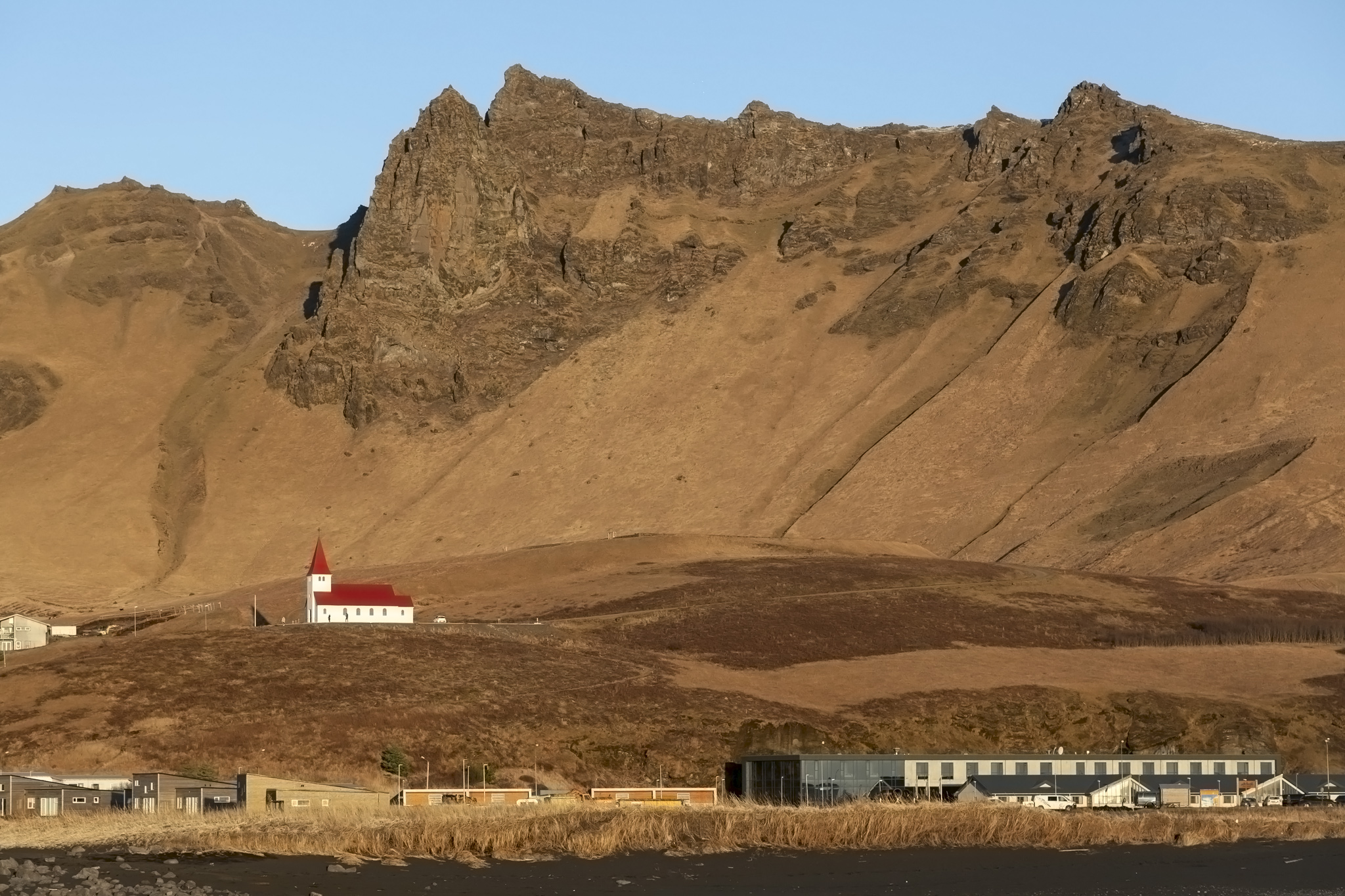
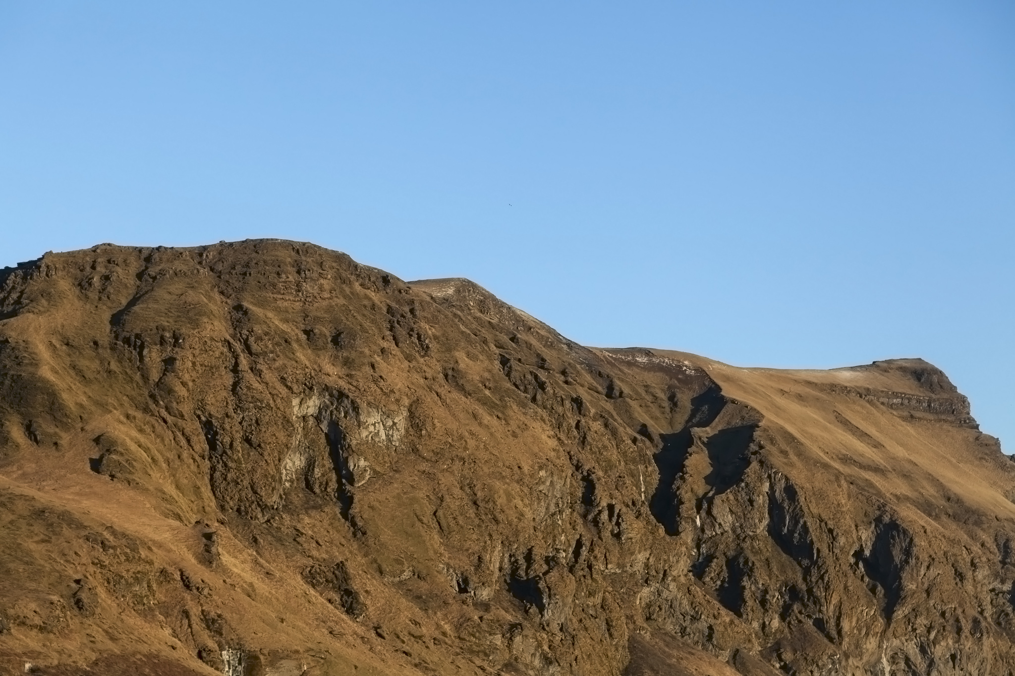
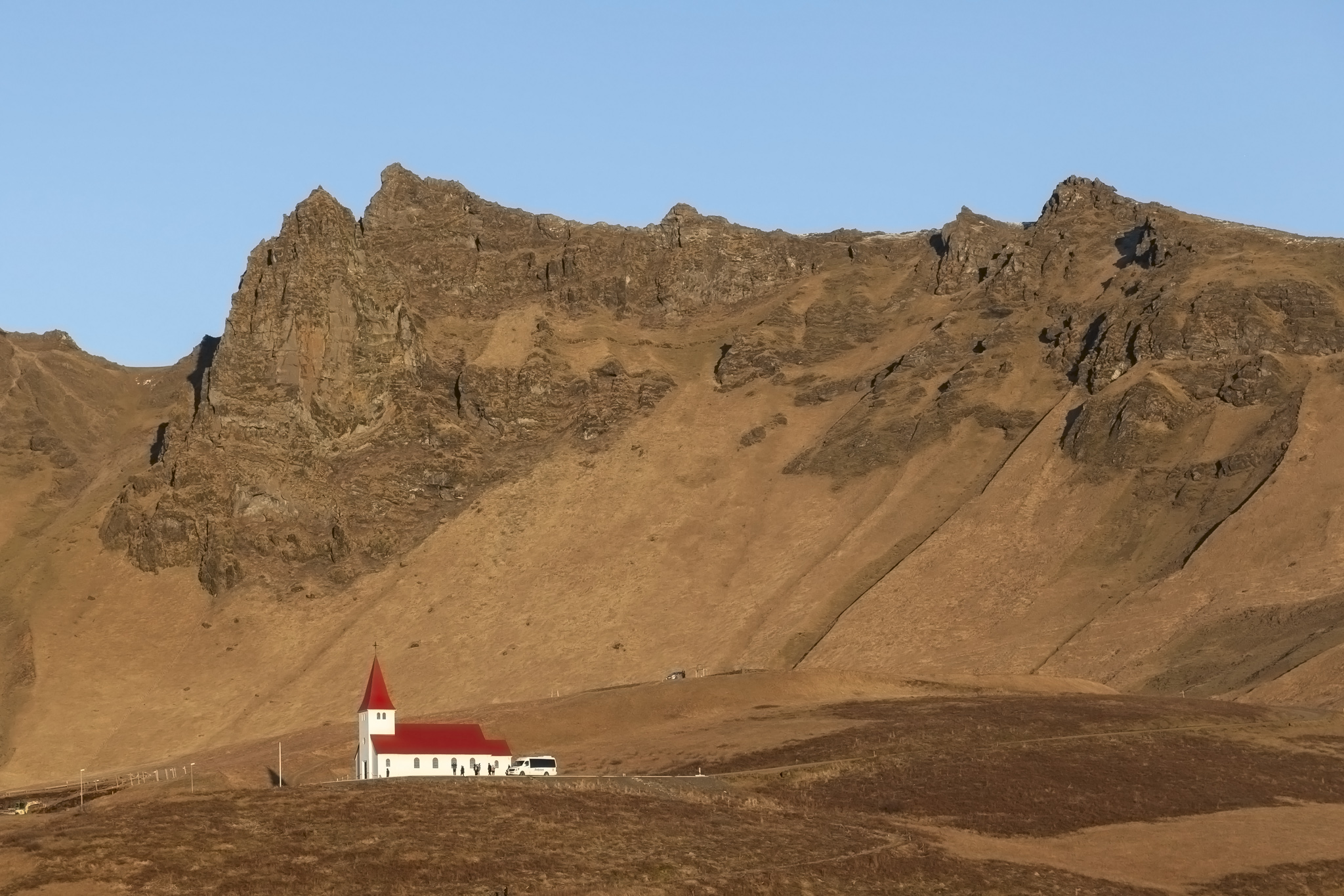
Vík í Mýrdal (or Vík for short) is the most southerly village in Iceland. Despite the small number of local inhabitants the village can hold several times its permanent number in hotels and other accommodations in the area as the location is often used by scientific teams because of some interesting features of the town. Drawing a line directly south there is no landmass at all between Vík and Antarctica. To the north lies the Katla volcano, currently covered by a glacier as it has not erupted since 1918. It is believed that when the volcano does erupt it will melt enough of the glacier to flood almost the entire village so evacuation drills are regularly held in order that people know how to get to the higher land in a timely manner. The prominent church in Vík is the congregation point for those drills.
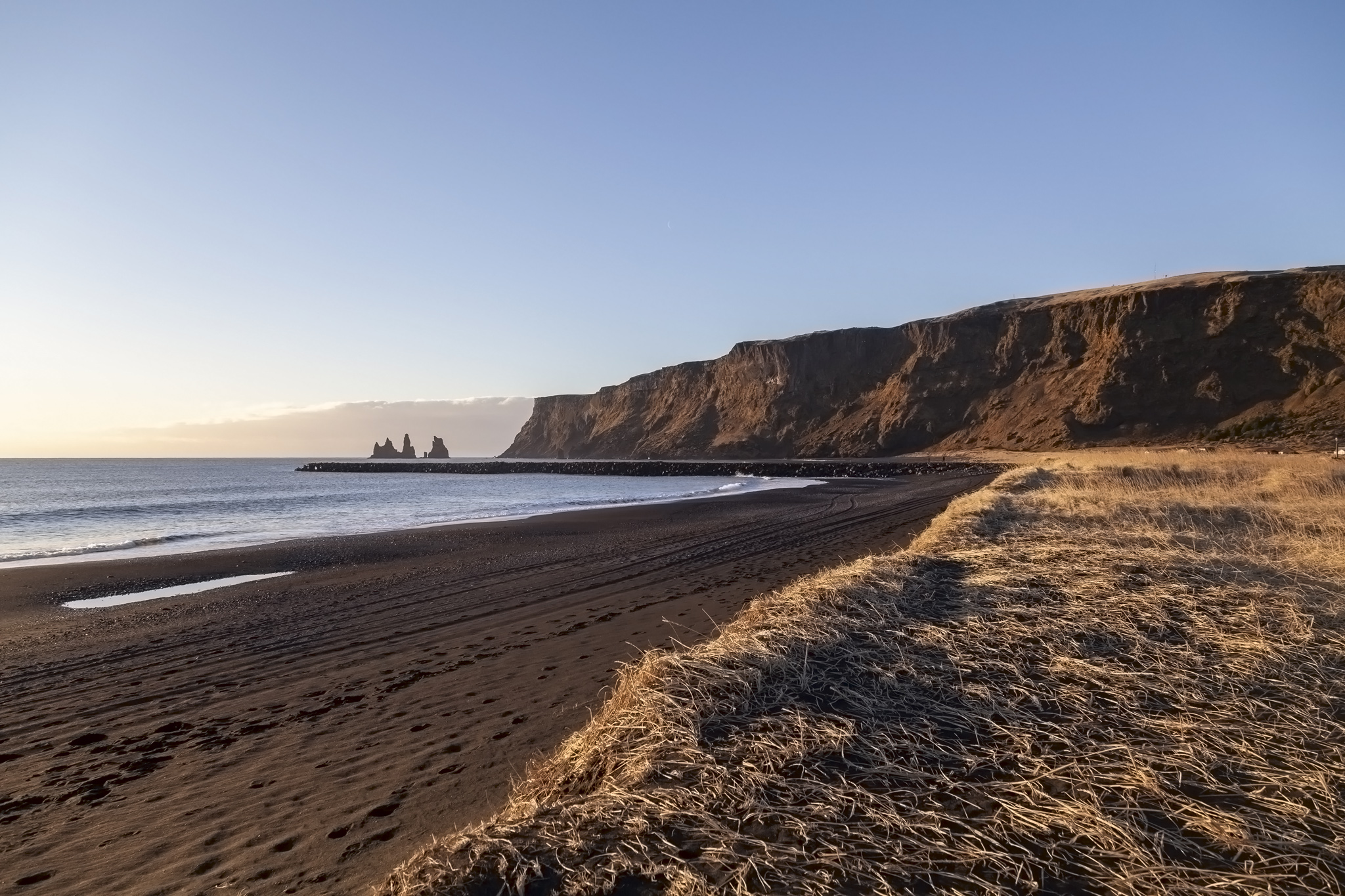
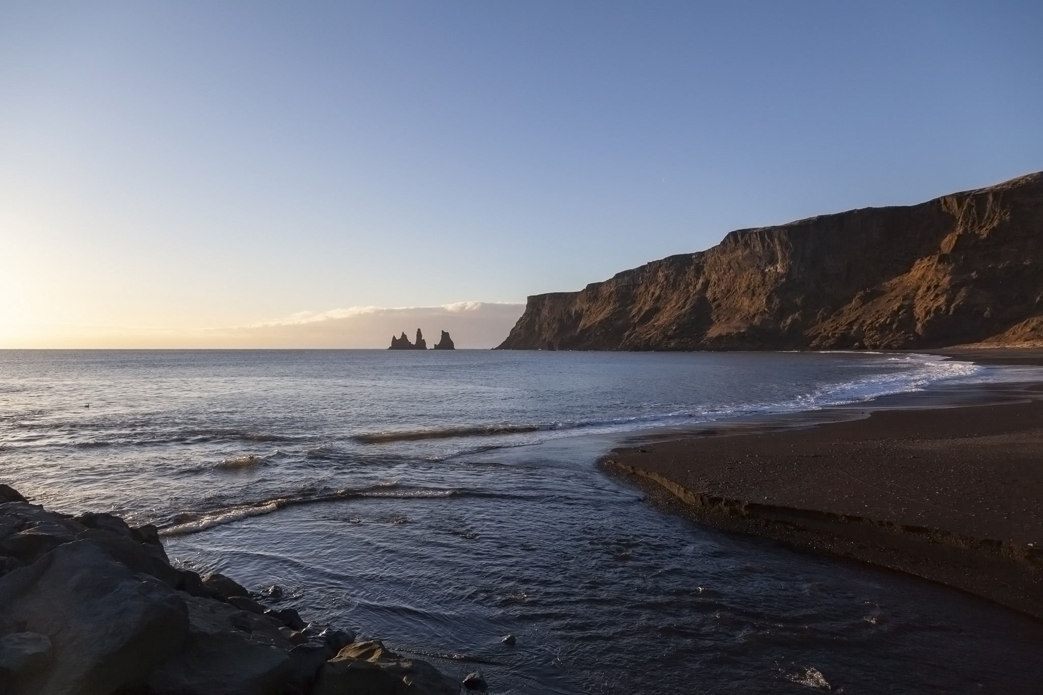
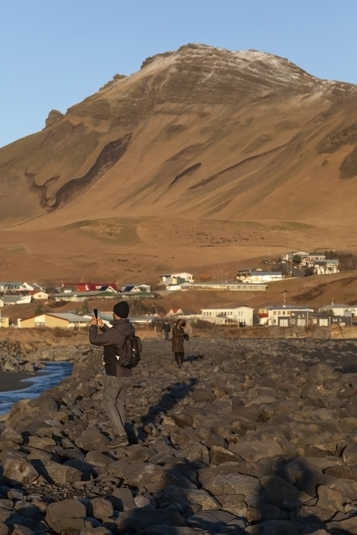
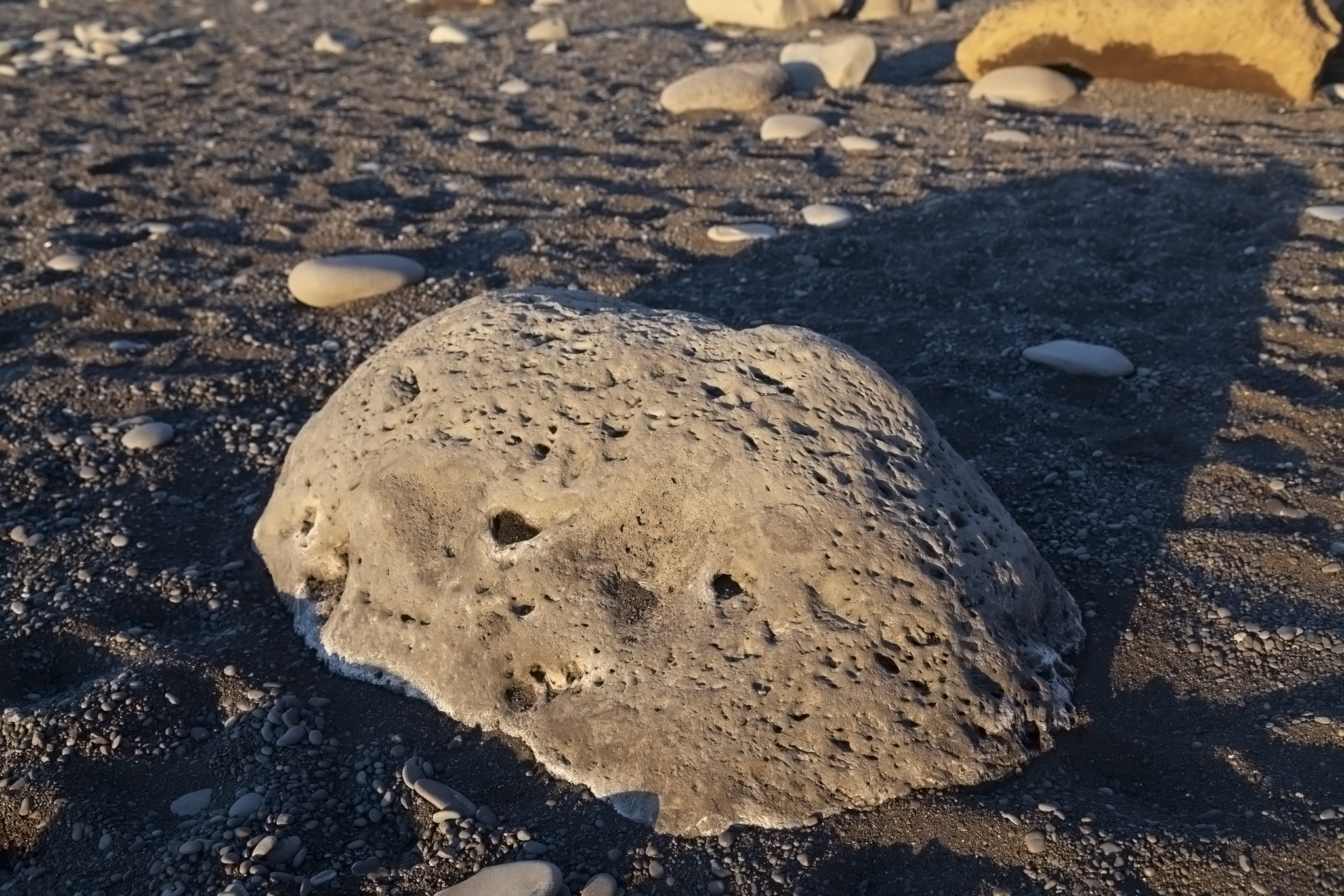
The geology of the area around Vík comprises black basalt giving everything an odd look for a beach if you’re just used to golden sand elsewhere in the world but one that seems so perfectly right in Iceland. A few people from our tour group headed down towards the beach but the majority seemed keen to hit the large supermarket and store near where our bus had parked or wandered into the village to see whether any of the cafés or restaurants or wool shops were open. We had spotted a rocky jetty extending out into the sea and although we’d been warned that the sea conditions were often extremely dangerous in this area we could see nothing but calm conditions and decided to head down to it and see how far out we could get. We weren’t the only ones. We’re suckers for piers and jetties. I can’t exactly explain it but we’re just drawn to them. There’s a wonderful feeling being out from the mainland with sea in most directions and being able to look back and get a bigger picture of what’s ashore.
Due to the village’s sheltered positioning and direct face towards the Gulf Stream it is among the wettest and warmest places in Iceland, the former environmental condition not being a problem at all for us during our clear sky visit to Vík and the latter being something we discussed at the time as we noticed that the deadly chill from the wind we’d experienced at Skógafoss had almost completely transformed into something remarkably close to quite pleasant on the coast.
Once the rocks of the jetty became too large and uneven to easily progress without the fear of slipping off or turning an ankle and after we’d had a discussion about just what we’d do if we saw the distant glacier explode into steam ahead of a flooding event because the volcano was erupting (answer: hold onto a boulder and hope) we headed back onto land and wandered a little farther west of Vík as we’d seen an interesting-looking sculpture in that area.
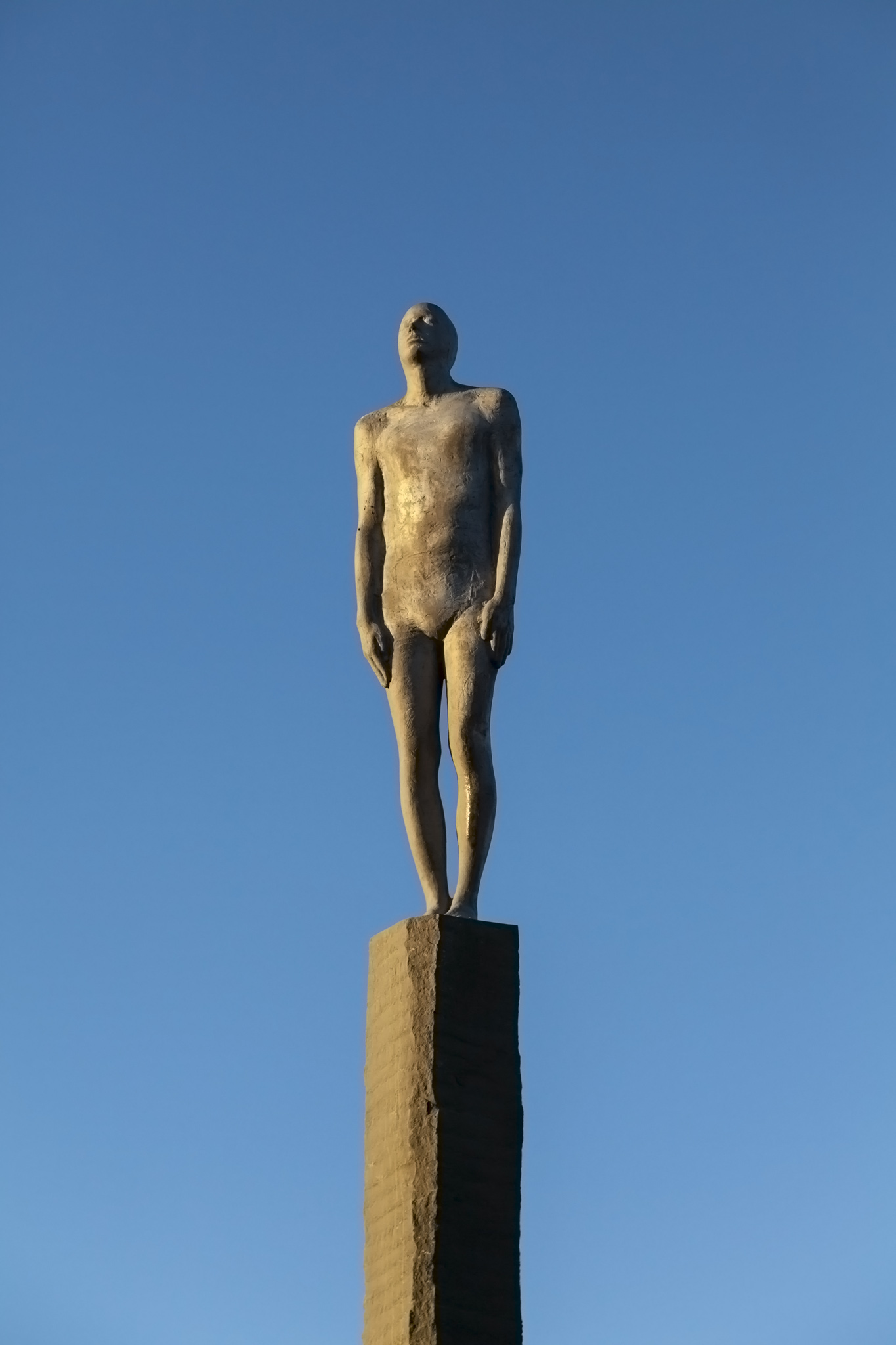
That sculpture turned out to be one half of the Voyages Sculpture by Steinunn Thorarinsdottir. The sculpture represents the friendship between Vík in Iceland and Hull in England where a matching sculpture stands (although the one in Hull isn’t the original as that was stolen by scrap metal thieves in 2011), both places having a long fishing history together only broken during the Cod Wars. Voyages was jointly commissioned by the British and Icelandic governments. An interesting fact about Steinunn Thorarinsdottir – at least for us as it’s our home city – is that she was educated at the University of Portsmouth.
We headed back to the bus in plenty of time to take a look around a large and well-stocked shop for tourists and make use of the public toilets before it was time to board and head just along the coast to our next stop.
Reynisfjara Black Sand Beach
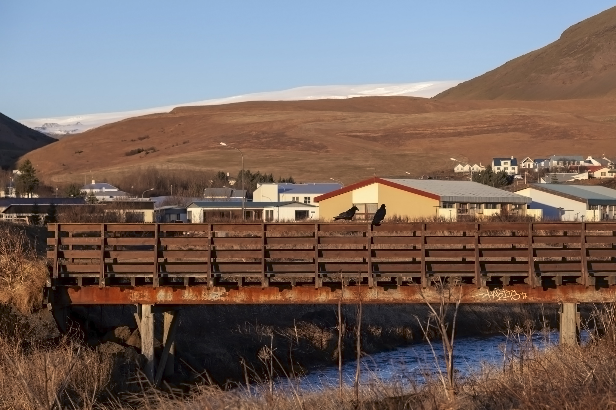
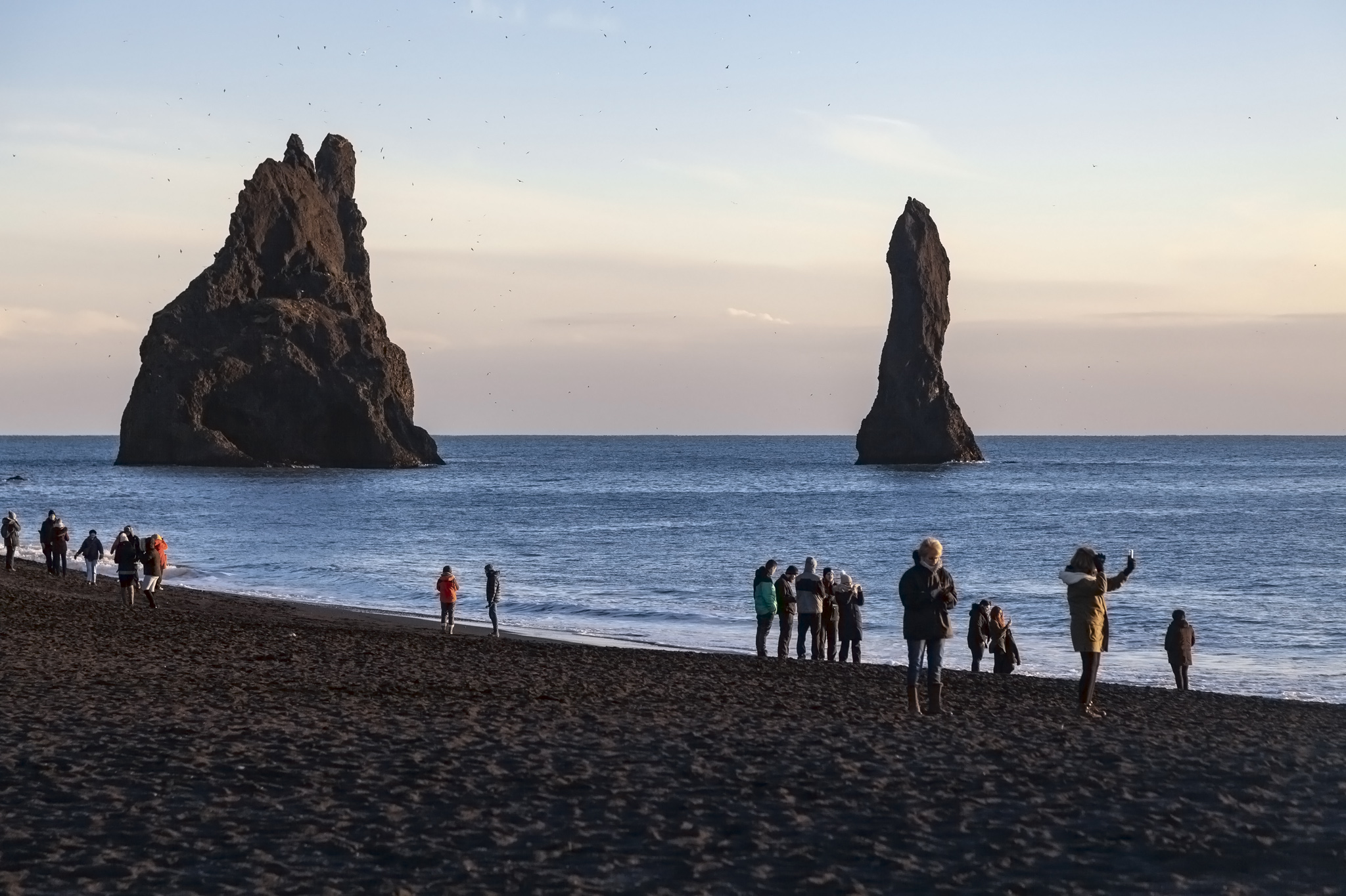
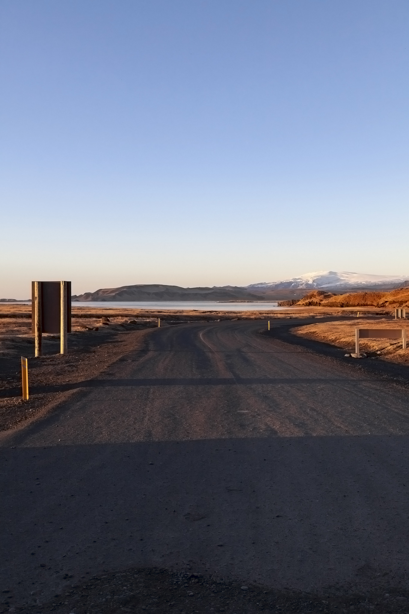
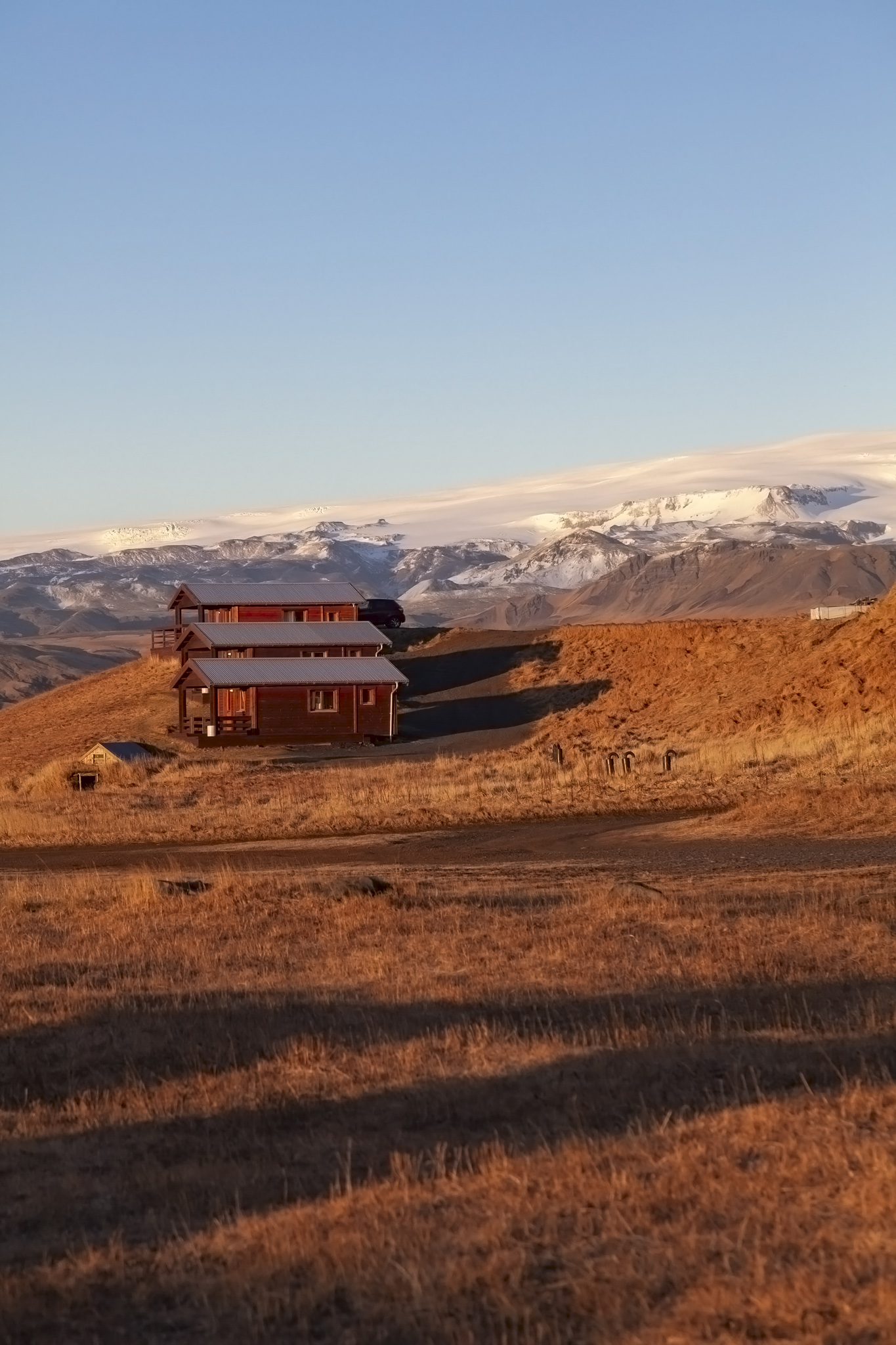
From the photos from Vík above you can see that there were some basalt sea stacks to the west of the village. Our destination was the other side of them which, because of the rocky headland jutting out into the sea and because buses don’t float very well, meant a drive north, then west, then south to get to where we needed to be. This reasonably short drive gave us a slightly closer view of the Mýrdalsjökull ice cap covering the Katla volcano.
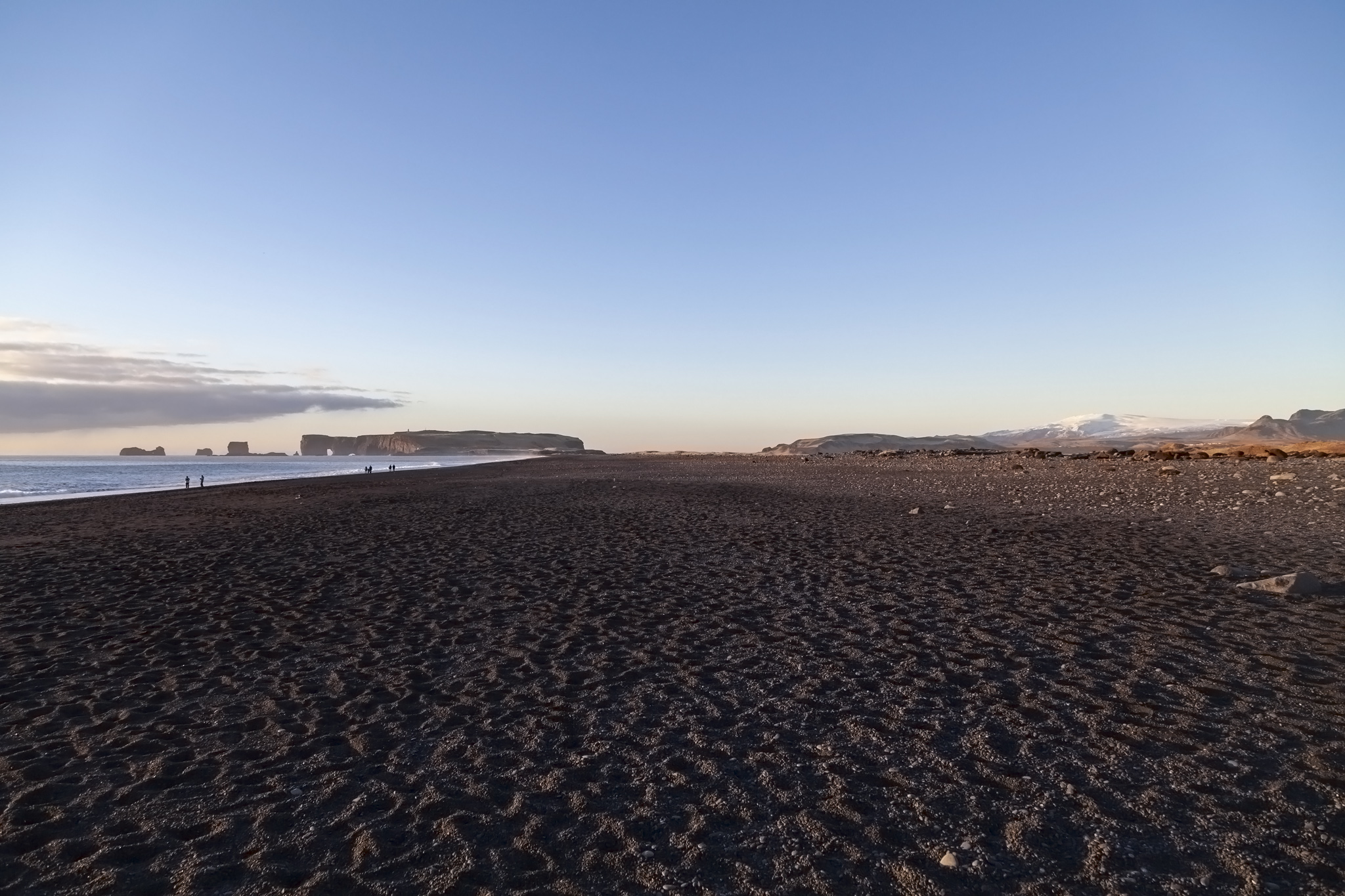
A decent-sized car park was pretty full when we arrived and indicated clearly that Reynisfjara was a popular destination for tourists visiting Iceland. It was very easy to see why, though. East of the beach and beyond the basalt rocks on it were the prominent basalt columns jutting up from the sea while to the west there was a clear view of Dyrhólaey, a peninsula with a couple of very obvious arches of rock visible. Our guide on the bus had mentioned that someone had actually flown through the larger arch on a microlight craft.
We didn’t have anywhere near enough time to head down towards Dyrhólaey but it was the basalt columns that were of more interest to everyone anyway. They are known as the Reynisdrangar and Icelandic legend claims they are the petrified remains of trolls who’d dragged a three-masted ship towards shore but got caught by the sunrise. That’s so like a troll to do that.
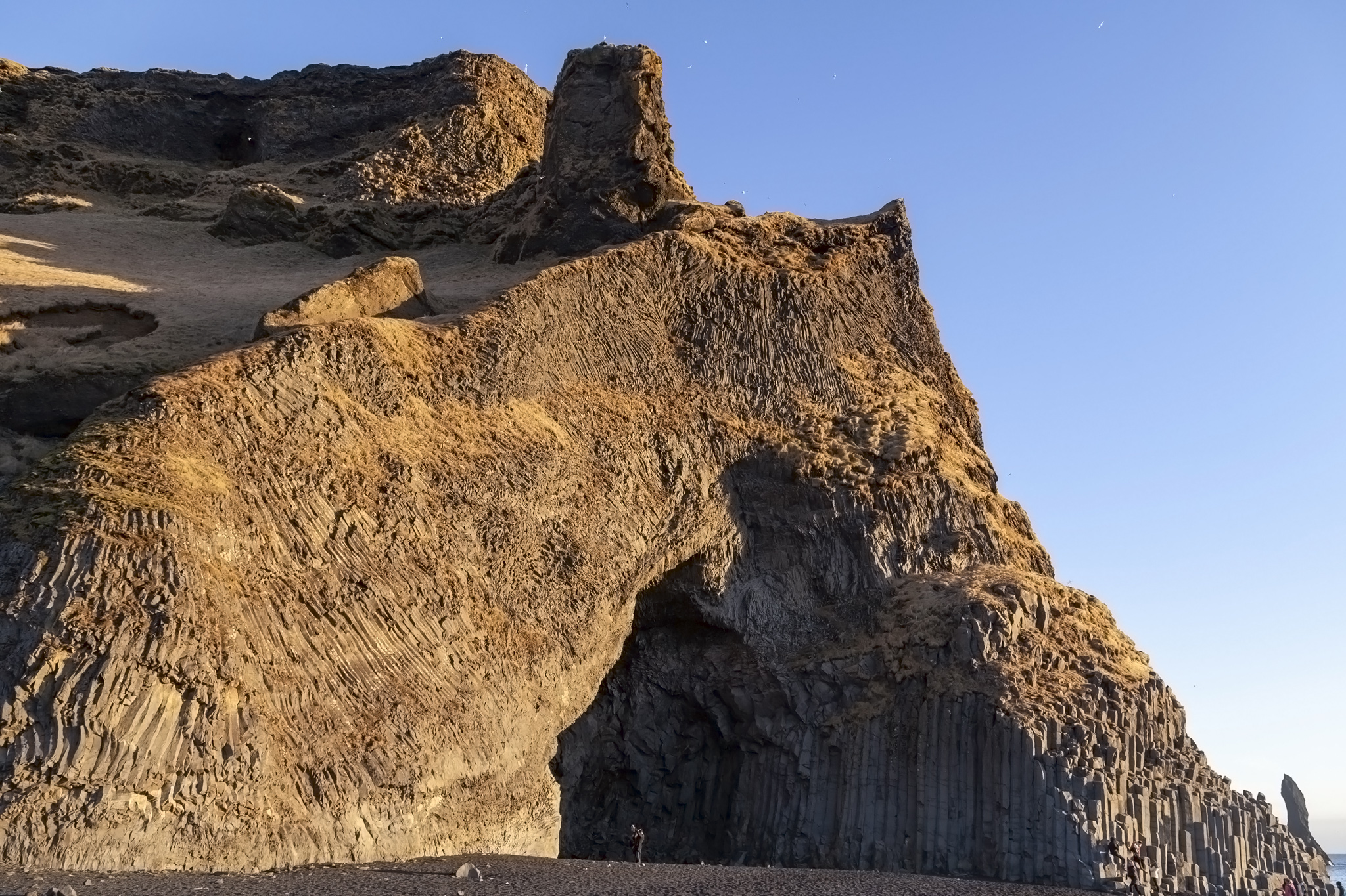
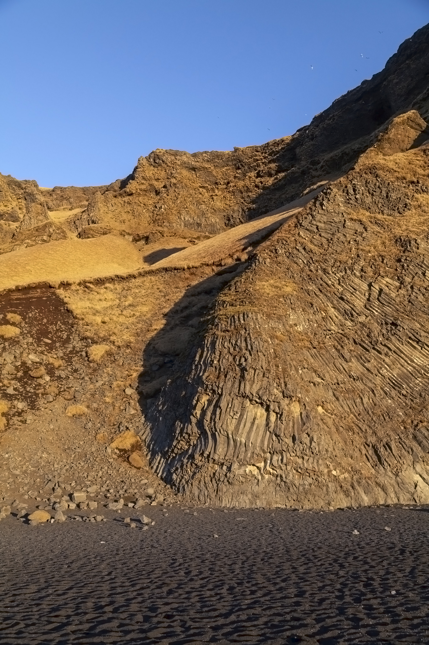
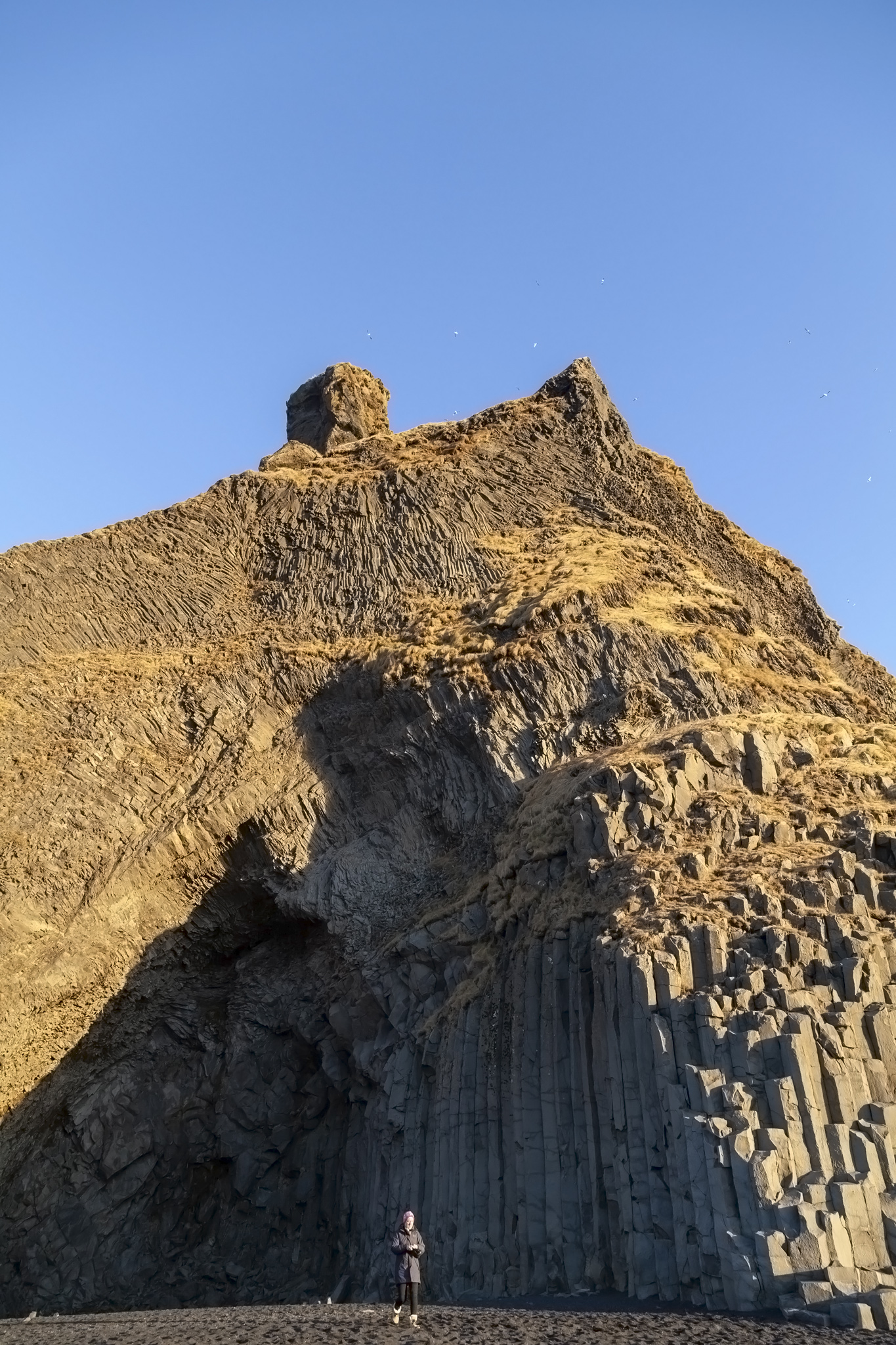
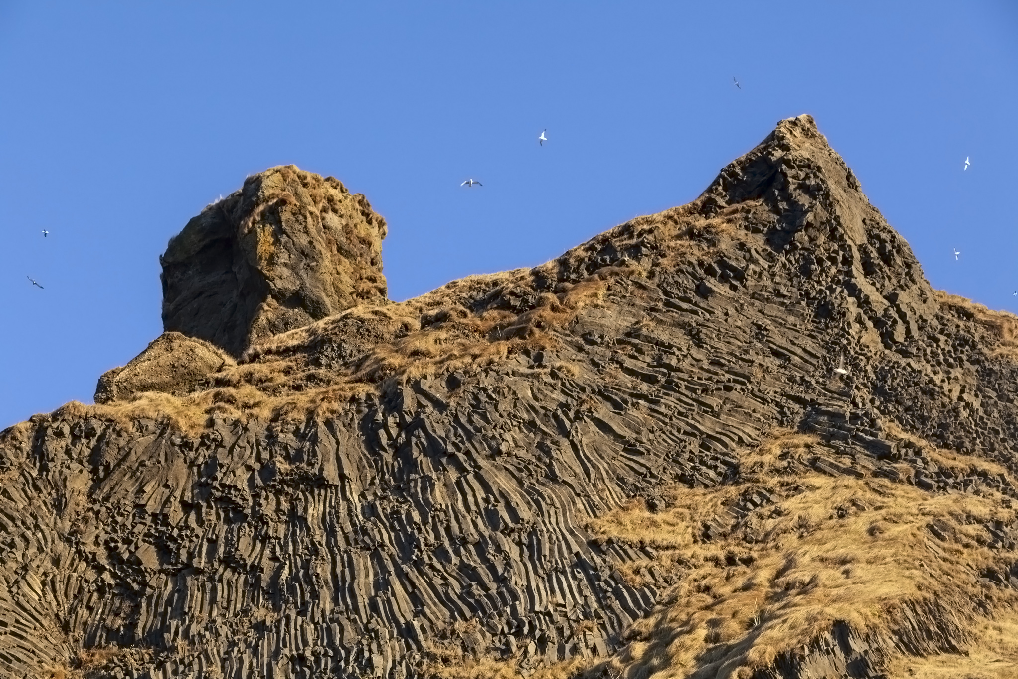
The rocky headland that separates Reynisfjara from Vík is also basalt and is also fascinating to look at especially if you’ve never seen basalt rock formations before. We hadn’t. I love seeing geometric patterns and structures produced by natural processes. Just like the Reynisdrangar in the sea the basalt formations on land and the large but shallow cave in the headland were big hits with photographers amongst the tourists visiting this particular part of Iceland’s south coast.
Sea birds circled endlessly above the Reynisfjara headland. This area is home to puffins – a favourite bird of my wife’s for some reason I’ve never delved into – but you’ve obviously got to visit at the right time of year to see them and it didn’t appear that early December was it.
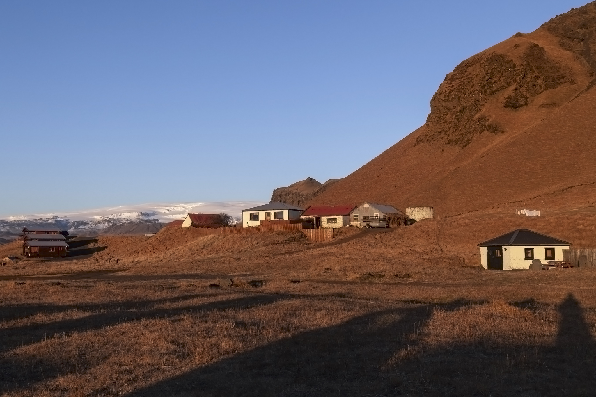
Iceland doesn’t really have rolling landscapes, or at least the bits of Iceland we’ve seen across two visits to the country don’t. The bits that aren’t mountains are flat and there are very few instances where neither feature applies. It makes for a land that often makes you feel small. You’re small against the vast, open flat areas; you’re small against the glacier-topped and snow-peaked mountains; you’re small under the night sky when it’s clear and especially when there are aurorae active. Distances look huge but everything looks within easy reach. We could see some of that very Icelandic view as we came back from the beach to the parking area ahead of our departure. Iceland is a country that gets to you and you can sense how it molds the people who live there.
There were a few buildings around the parking area at Reynisfjara, including a public toilet and a small dining establishment. We had no need of either and waited around to grab a few final photos until we saw members of our tour group starting to appear and board the bus.
In the third and final part of this south coast Iceland excursion we’ll hit the Sólheimajökull glacier to pick up the tour group passengers we’d dropped there earlier before our second waterfall of the day, Seljalandsfoss.
