Star Princess‘s port of call in Nicaragua was at San Juan del Sur and this would be our only tender port of the cruise. We were up early enough to have not quite finished anchoring off the coast of the town in the southwest of the country even though the cruise ship had arrived ahead of schedule, and we had plenty of time to have a leisurely but substantial-enough breakfast to see us through a large portion of the day as we had a long excursion planned.
San Juan del Sur
We may have been ready in plenty of time and the ship may have been ready in plenty of time but the Nicaraguan authorities had different ideas and after a long wait in the theatre we were finally called to our tender boat over half an hour after our excursion was due to have started. Indeed, by the time we had completed the ride to land and our bus had set off for its tour we were close to an hour behind schedule. This was particularly worrying as, allowing for that delay, our expected time back at port based on the excursion’s duration would be well after the time indicated on the Last Time Aboard signs in position as we disembarked the ship and as we arrived on land. This was mentioned amongst our group with some people wondering if the tour would be cut short but, ultimately, we just had to trust that the operators knew what they were doing and, as this was an excursion arranged by Princess Cruises, we knew they wouldn’t leave us behind.
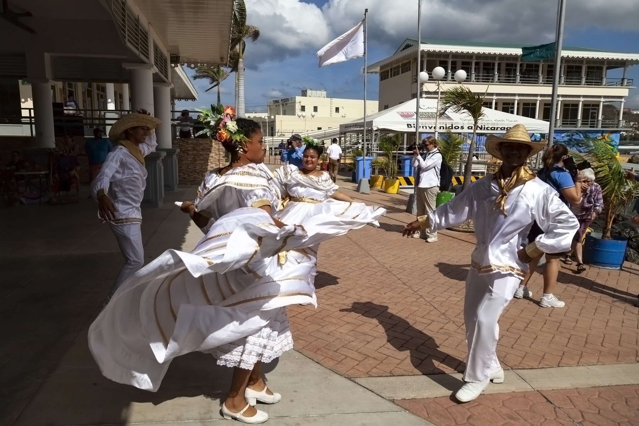
It’s a shame that we were acutely aware of the time because it would have been nice to just take a few minutes to look around the port area at San Juan del Sur. There was a large, covered space selling typical souvenirs, and dancers, musicians, and children dressed in local costumes were all there to welcome our ship. I can’t say whether there was much else beyond what we saw between the jetty and the bus but the impression was of an attractive bit of coastline, a very friendly place, very happy people, and it’s possible that there are enough things to do in the town if you don’t choose an excursion from the ship.
Drive To Mombacho
It wasn’t the most comfortable of bus rides and it wasn’t a short one. We headed roughly northeast from the coast on the road towards La Virgen on the shore of Lake Nicaragua then turned northwest and followed the main road tracking along the lake and affording us with occasional glimpses of Ometepe, the island in its centre formed from two volcanoes. They were easier to see on the right side of the bus and we were sitting on the left so my views and this short video clip (temporarily removed) are of the Nicaraguan landscape we passed instead. It’s almost cruel of me to have even mentioned it.
The road leading up the volcano was situated at a place called Comarca El Guanacaste and it was here, about one and a half hours after leaving San Juan del Sur, that we got out of our air-conditioned bus and onto a 4-wheel drive truck. Not air-conditioned; not comfy seats; exposed to the elements. The vehicle is mounted up a set of stairs at the back and people filled from the back forwards so that they could a) get off first, b) see more of the ascent, and c) cause as much trouble as possible for those climbing aboard last who needed to squeeze through the narrow aisle to get to the still-unclaimed rickety chairs affixed to the flatbed of the truck near the front. If you’re unlucky enough to get the front row, aisle seats then your view will consist mainly of a tarpaulin cover. Luckily, we were in the second row and I was able to lean out and snap some shots going up the mountain.
The ascent was a slow one and, as you can tell from the short video clip below (temporarily removed), not without a soupçon of noise. The views were pretty impressive, though.
Santa Ana
About two-thirds of the way up Camino al Volcán Mombacho is Santa Ana, a handy rest stop with a café, shop, and toilets. Our vehicle halted here for fifteen minutes to allow people to use the facilities and because there is a one-way system in effect managed over radio to prevent vehicles running into each other. The women’s toilet immediately caused a queue to form because poor toilet design is a worldwide phenomenon but as I was the last of the men to use the room allocated to us I then helped stand guard in shifts with another male passenger to let the women use the cubicles in our restroom. It’s worth noting that at this point we’d been off the ship for around two and half hours and the vehicle would not stop here on the way coming down although there was another toilet at the information centre at the top of the volcano.
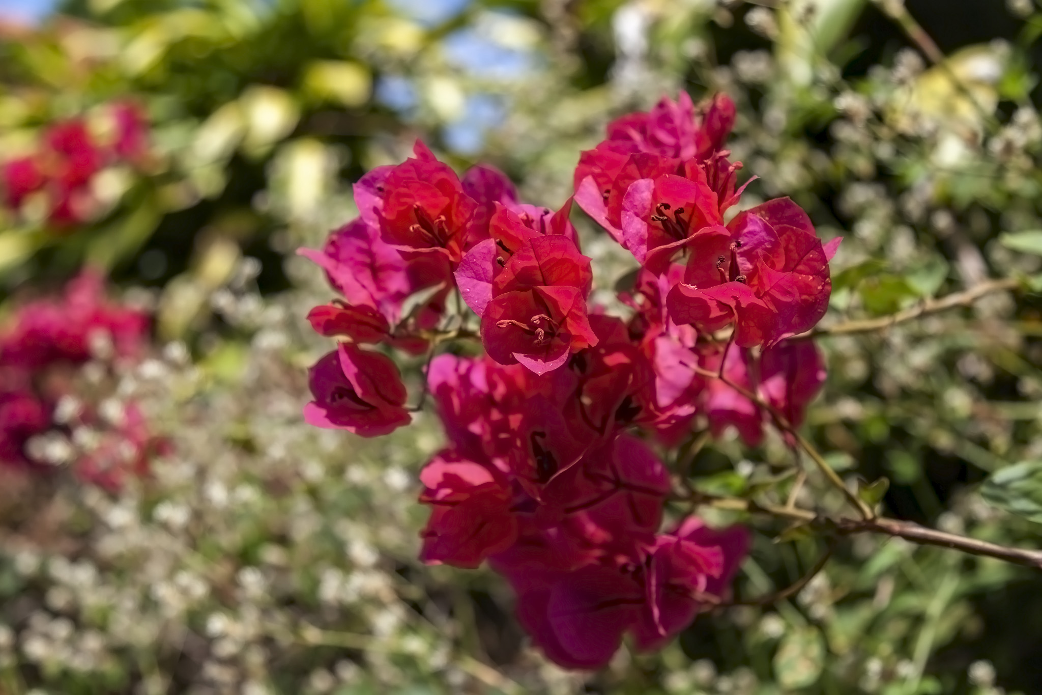
Santa Ana was a very pretty little area and probably a very welcome resting point for those people choosing to walk to the top of the volcano ahead of the hike around it. There was an abundance of colourful flowers and I won’t antagonise florists by even considering hazarding a guess at what they were.
Mombacho Volcano Hike
A slightly shorter drive from Santa Ana took us to the information centre and café at the end of the road atop the volcano. We didn’t use the café but we were told that they only accepted local currency at the time of our visit. The very first thing we were shown was a trail guide indicating the paths that could be taken: the Crater Trail and the Puma Trail. The former trail is around 1.5 kilometres long and considered moderately difficult and the latter one is strenuous and approximately 4 kilometres in length; that, along with the time taken to get get to and from the port plus the inherent unfitness of cruise passengers in general (guilty as charged) meant we’d be hiking the Crater Trail for this excursion with an expectation that this would take around one and half hours.
If you’re thinking of taking a hike around Mombacho on your own then you are only allowed to self-guide the easier Crater Trail; you need to pay for a guide if you want to try the other, tougher path. Regardless, upon leaving the information centre you have to take the Crater Trail initially to skirt around the edge of the nearest crater and you can either go clockwise or anticlockwise. There were too many of us to be guided in one pack so one half went on an anticlockwise circuit of the crater with the guide who’d accompanied us on the bus while the other half headed clockwise with a guide who worked for a local company who specialised in looking after the volcano and its tourist operations. We were in the latter group.
Mombacho Volcano is 1344 metres high. With that being the highest point, of course, the initial part of the hike was mostly downhill which was absolutely fine all the while you could forget that this would come at the cost of some future uphill parts to battle.
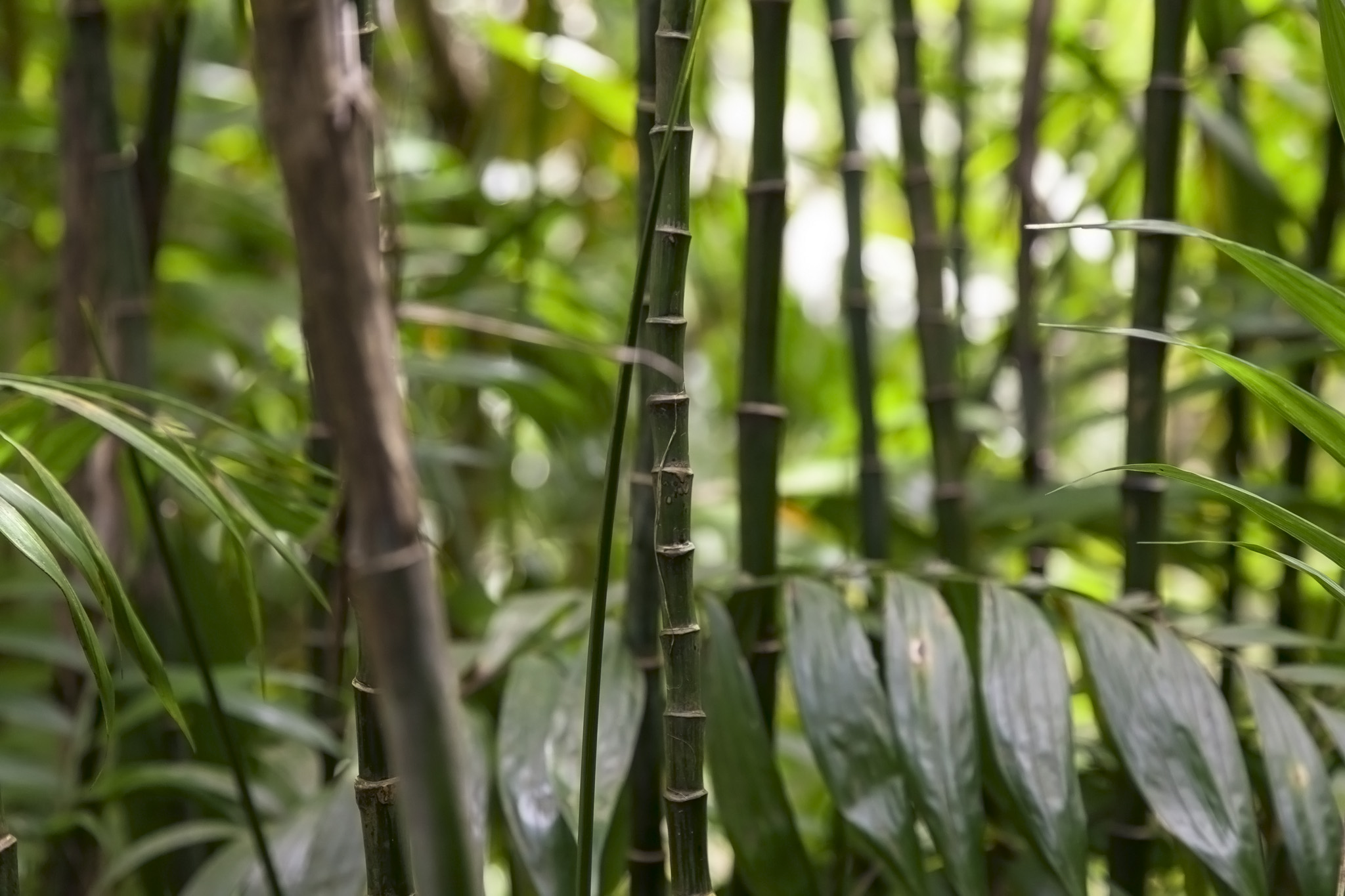
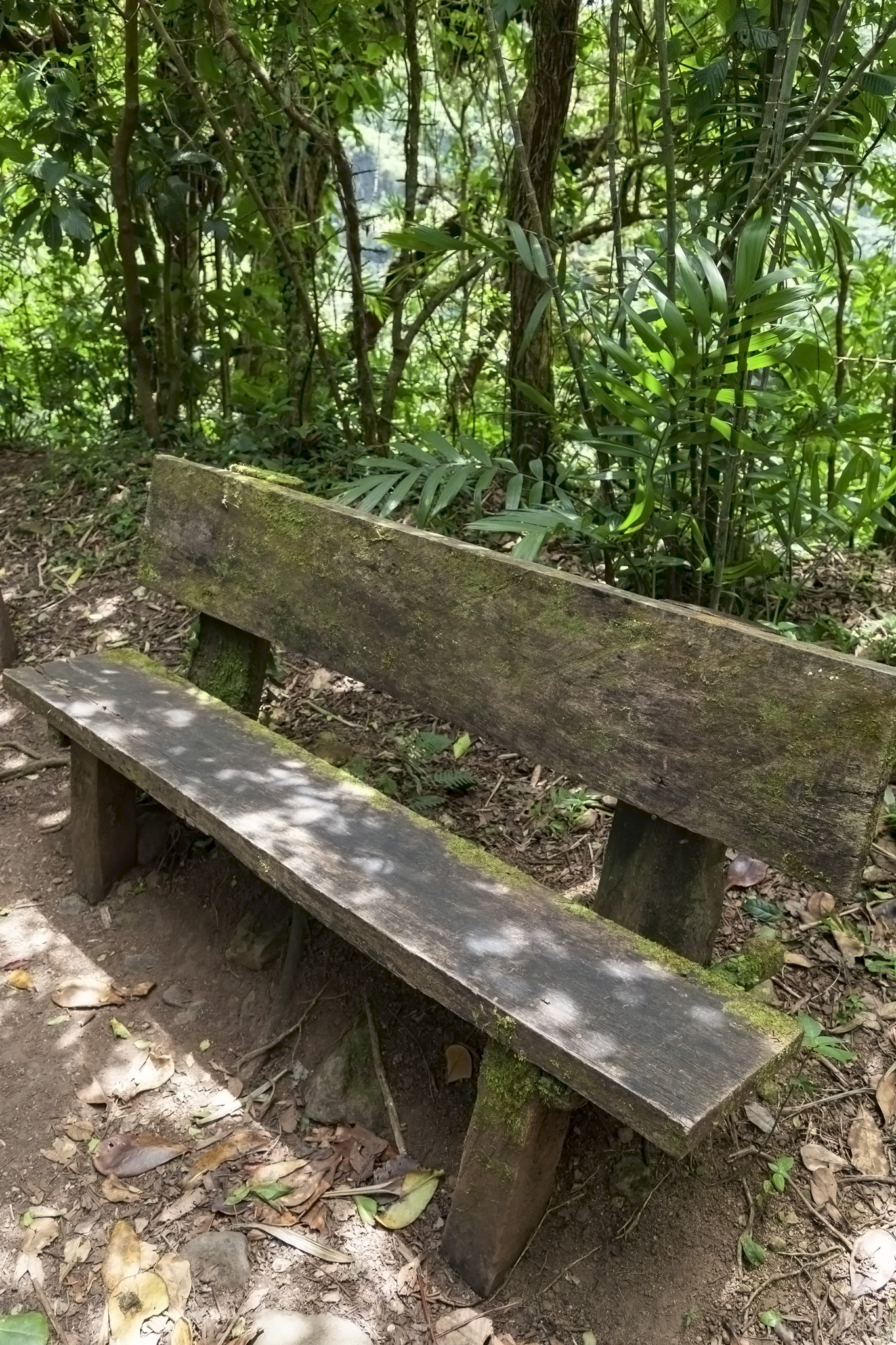
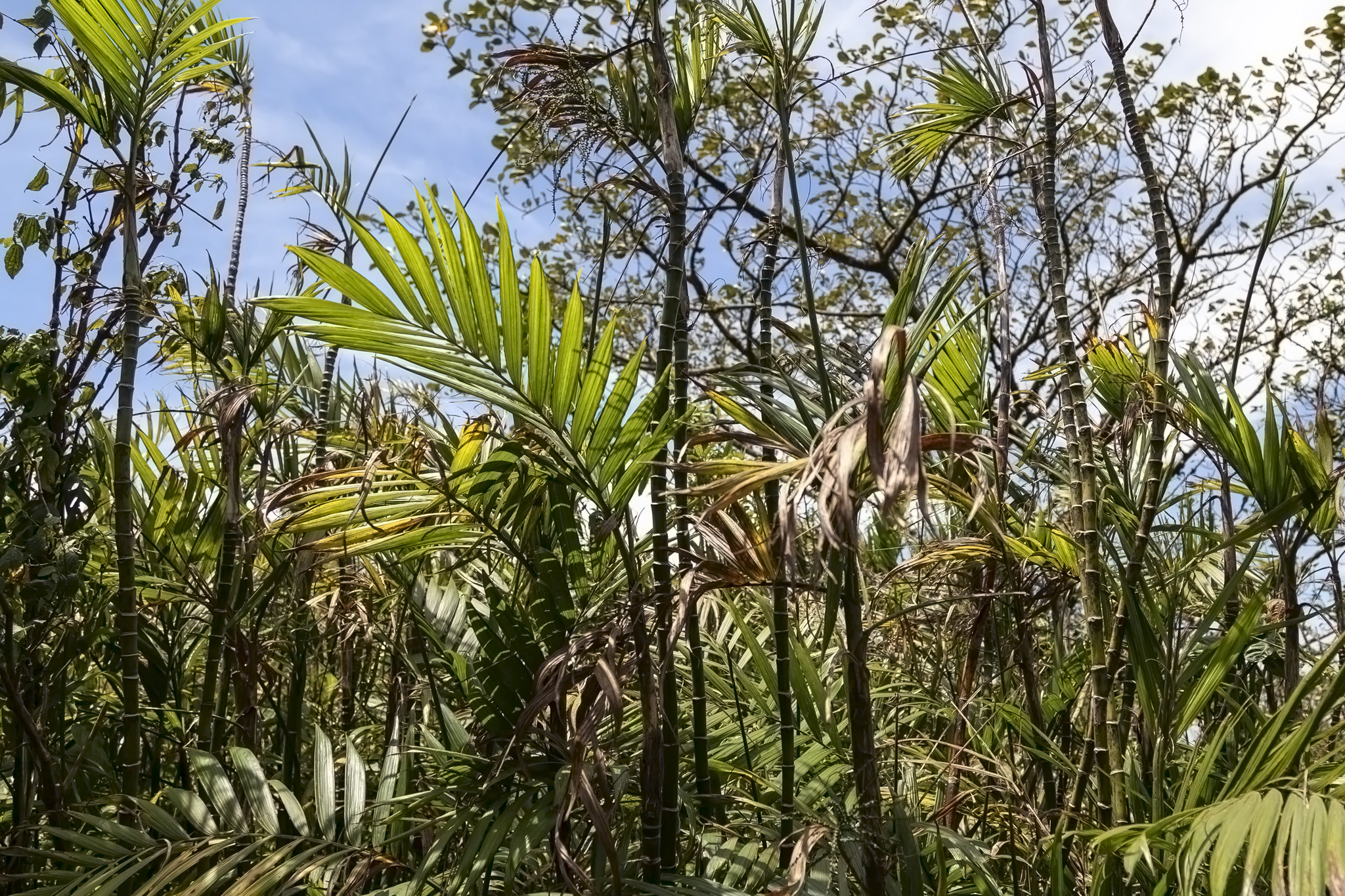
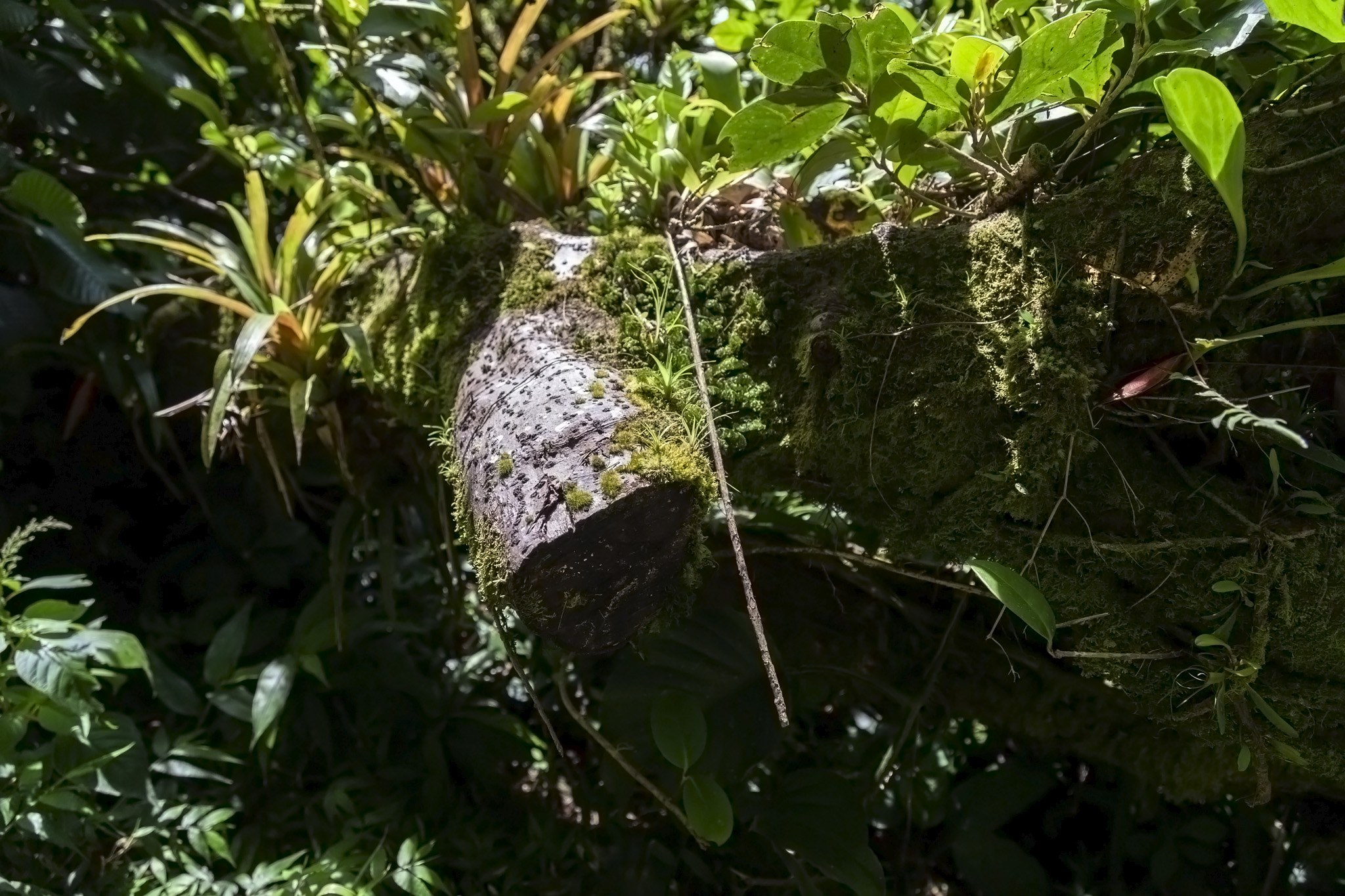
We would periodically stop so that our guide could explain some of the flora we were encountering: grass that looked like bamboo but which was very flexible – he bent one over to touch the ground to demonstrate – to cope with the occasionally strong winds at altitude; giant leaves that collected water; explanations about the types of orchid that grew on Mombacho; warnings not to touch a rather innocuous-looking bark away from the marked path which we were told caused an acid-like burning sensation if it came in contact with your skin.
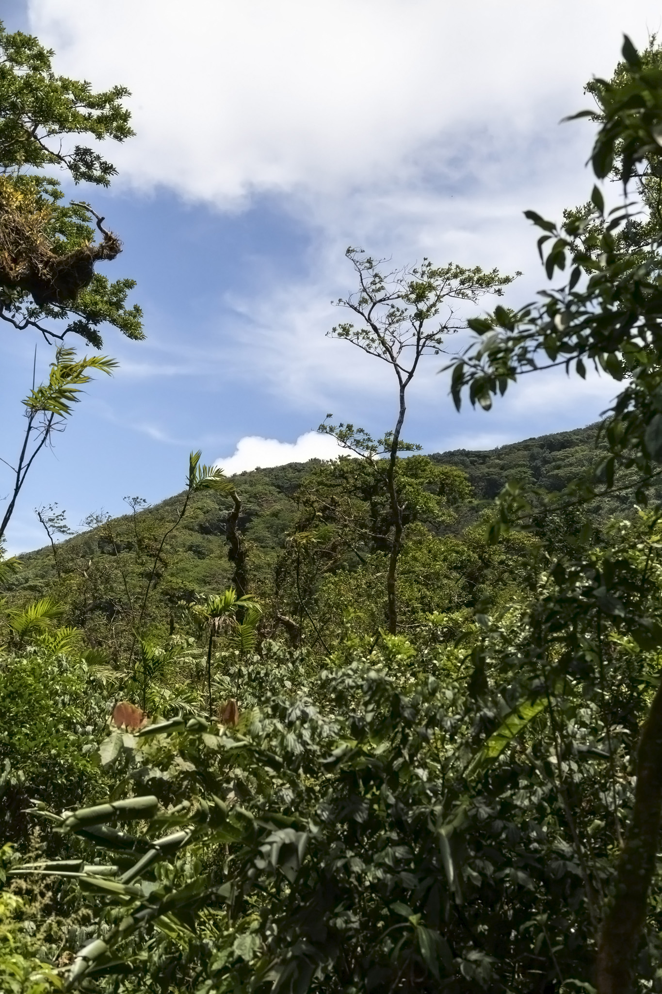
The top of Mombacho is a cloud forest, a type of forest that accounts for around one percent of the world’s woodland. As the name implies, cloud forests thrive on their altitude which intersects with the formation of cloud layers. Moisture from clouds and fog condenses on leaves, collects, and drips onto the forest floor leading to wooded areas with higher-than-average amounts of moss and high acidity in the soil which in turn creates often very unique ecosystems. That soil lower down the slopes can provide some interesting growing conditions and Mombacho has coffee plantations situated there. Be aware that the clouds, of course, could be present if you visit which could make any hike a colder and considerably damper one, lacking some of the fantastic views you might otherwise get, although, as you can see from the photos, we had fabulous weather for our hike which was in March, 2019.
At certain points around the hiking trail there were signs in Spanish describing some aspect of the trail; its flora or fauna, for instance. One of these signs was at the entrance to a narrow canyon that had initially been formed by rainwater erosion but which had been widened by inhabitants in the area in order to assist in getting fresh water, something no longer necessary once modern plumbing made an appearance in this part of the world. The canyon was an interesting little side-journey off the main hiking route and gave a partial view towards the interior of the crater that we were circling.
Our hike continued after we’d all returned from the canyon and, while there were short periods where we were climbing, the path we were taking continued to descend overall. We had a few more stops where flora was pointed out and we also got to smell some unroasted coffee beans as we trekked ever clockwise towards what would be the lowest point of the hiking trail.
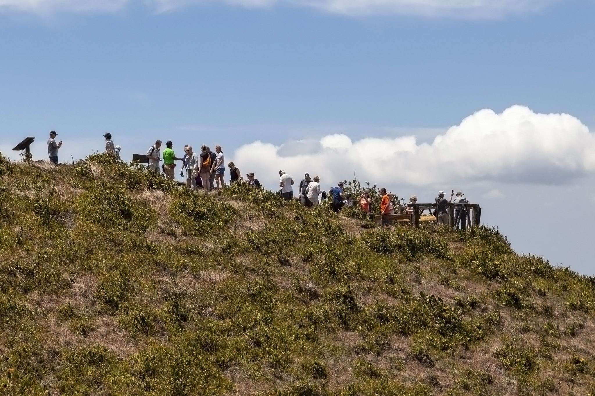
It was at the low point of the Crater Trail that we caught up with the other half of our hiking excursion group. This was close to the volcano’s fumaroles and it was about two thirds of the way around the crater’s rim from where we started, moving in the direction we’d taken. There were two points of interest at this meeting point of the groups so we took it in turns with our half of the tour looking at the fumaroles first while the other group headed to the viewing platform looking out to the Granada Islets, then vice versa.
Fumaroles are holes near volcanic craters where gases vent. It was certainly possible to smell the sulfur from the fumarole but it was only just about possible to see one and taking a photo proved impossible as it required leaning out and looking down a crag in the mountainside. More interesting was a fumarole that wasn’t venting but into which we could put an arm – if you’ve ever seen Peter Duncan’s test of manhood in the movie Flash Gordon then, yes, almost exactly like that – and feel the sudden, almost heavy heat from deep underground encasing it. It was a strange and fabulous experience.
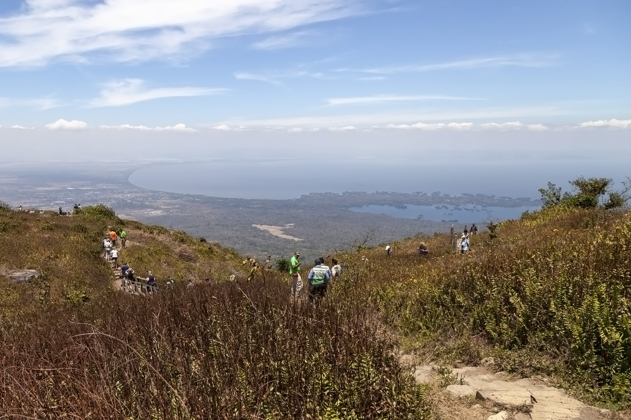
The viewpoint was the farthest distance from our starting point and allowed us to see directly ahead of us towards the freshwater Lake Nicaragua, the city of Granada (where we would be heading after our volcano hike), and the archipelago of 365 islets formed during an eruption of Mombacho in the distant past. Some of the islets are inhabited and our tour guide in the bus had mentioned that he had older family members who lived there and who remembered in their youth when the freshwater sharks that the lake is famous for were so large in volume all you could see were fins moving between the lumps of land. This contrasted to modern times when local Nicaraguans, many of whom cannot swim and so keep away from the sea, still nevertheless come to the lake to paddle or learn to swim, fear of shark attacks being low due to the rarity of even seeing one of the creatures.
Turning leftwards and towards the northeast it was even possible to see the smoking crater from another one of Nicaragua’s volcanoes, Masaya.
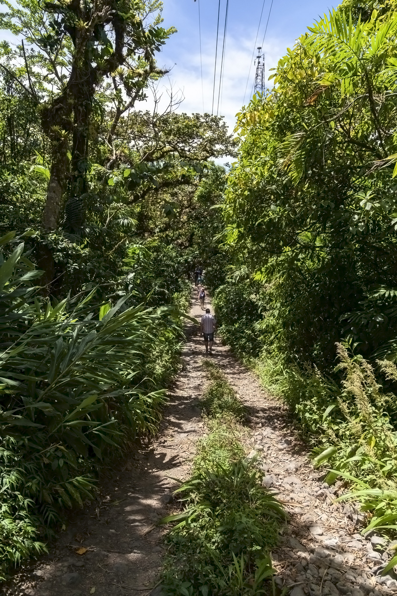
All that remained to do was to complete the circuit of the Crater Trail and get back to the information centre at the top of Mombacho. Now, maths comes into play here. We’d effectively covered twice the distance of the other group to reach this point but we’d both dropped the same altitude. This meant, of course, that on our part of the hike we had descended at half the rate of them but, conversely, it meant that the remaining part of the trail to hike – you know, the upwards bit of it – would be twice as steep for us as it would be for them. In the first of the photos below you should be able to make out the pylon atop the volcano on the right side; that’s the information centre that we needed to get back to.
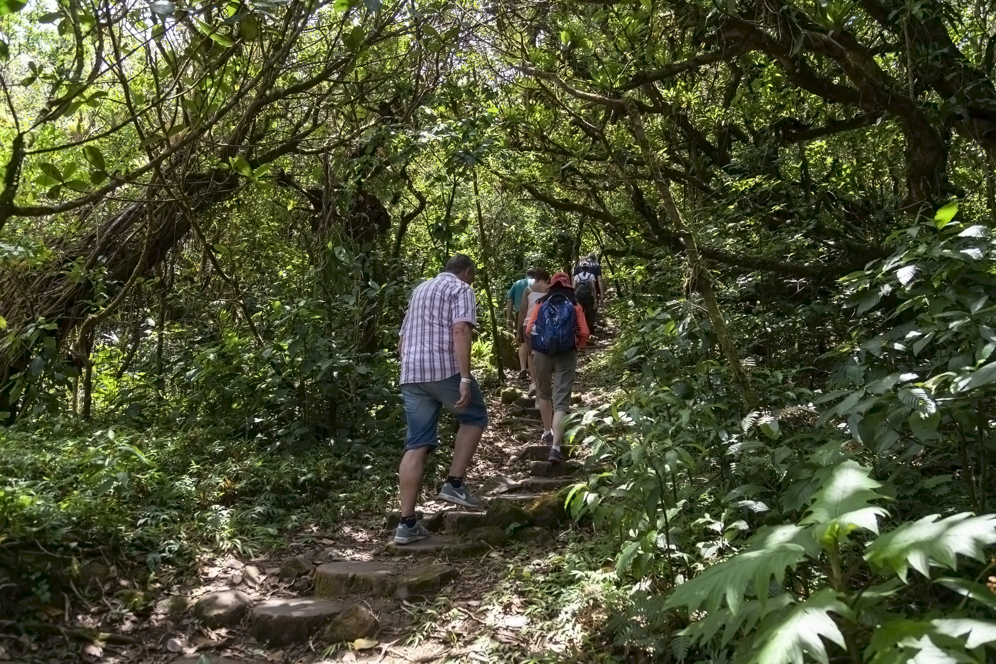
This was the only excruciating part of the hike around Mombacho. We are not a fit couple and probably shouldn’t be picking the excursions with warning signs on them when we’re booking cruises but we’re also contrary gits so whenever we even think the words “probably shouldn’t” regarding an activity then there’s a part of our brains that will already be drawing up plans to do just that thing. For a fit person this part of the hike is quite likely a nice workout. For a regular hiker this may well be just a warm-up exercise. To be fair, if it was just the pair of us taking it at our own pace then we’d probably have had no trouble either but our pace turned out to be a lot slower than everyone else’s and, not wanting to slow everyone down, we matched what the rest of our hiking group was doing. And almost died. An exaggeration for me but perhaps not so much for my wife who has trouble regulating her body temperature in normal circumstances and whose face was the colour of a ripe tomato with third-degree burns as viewed under a red spotlight. She was physically unable to speak and experience has taught me not to attempt communication in these situations for my own safety and to simply do what I can to cool her down during the brief halts we had.
Because we’d made painfully, painfully good time returning to the summit of the volcano we had time to wait before the other half of our group caught up with us on their more gentle ascent. This, at least, gave us both the chance to reach a more normal temperature and skin colour before we headed back down in the back of the four-wheel drive once more.
Despite the high exertion towards the end of the hiking trail this was a fantastic trip to do during our stop in Nicaragua and we don’t regret it one bit. Highly recommended if you like to hike or just want to say you’ve walked around a volcanic crater or you’ve got a soft spot for forests. Should you be thinking of taking a hike around Mombacho Volcano, my advice, you won’t be surprised to learn, is to do so in an anti-clockwise direction from the information centre.
Descending Mombacho
With our excursion group whole again and everyone who’d needed to use the toilets having done so (we’d pretty much just sweated out all the water we’d carried with us) it was time to head back down the mountain. We passed back through Santa Ana without stopping and passed several pairs of hikers walking up, about to start their own trek around the trails.
It was interesting to see the vegetation change as our altitude dropped, something I’d not noticed on the way up. The verdant colours of the cloud forest level soon gave way to a more heat-scorched environment, although one reasonably well-occupied.
We finally made it out onto the main road where we were let out of our truck and gave silent prayers of thanks to the God of Air-Conditioned Vehicles once more. The next stop on our day’s excursion out from San Juan del Sur would be to the city of Granada for a look around at its historic centre and a spot of lunch, and that will be covered in the next post in this cruise diary travel portfolio.


