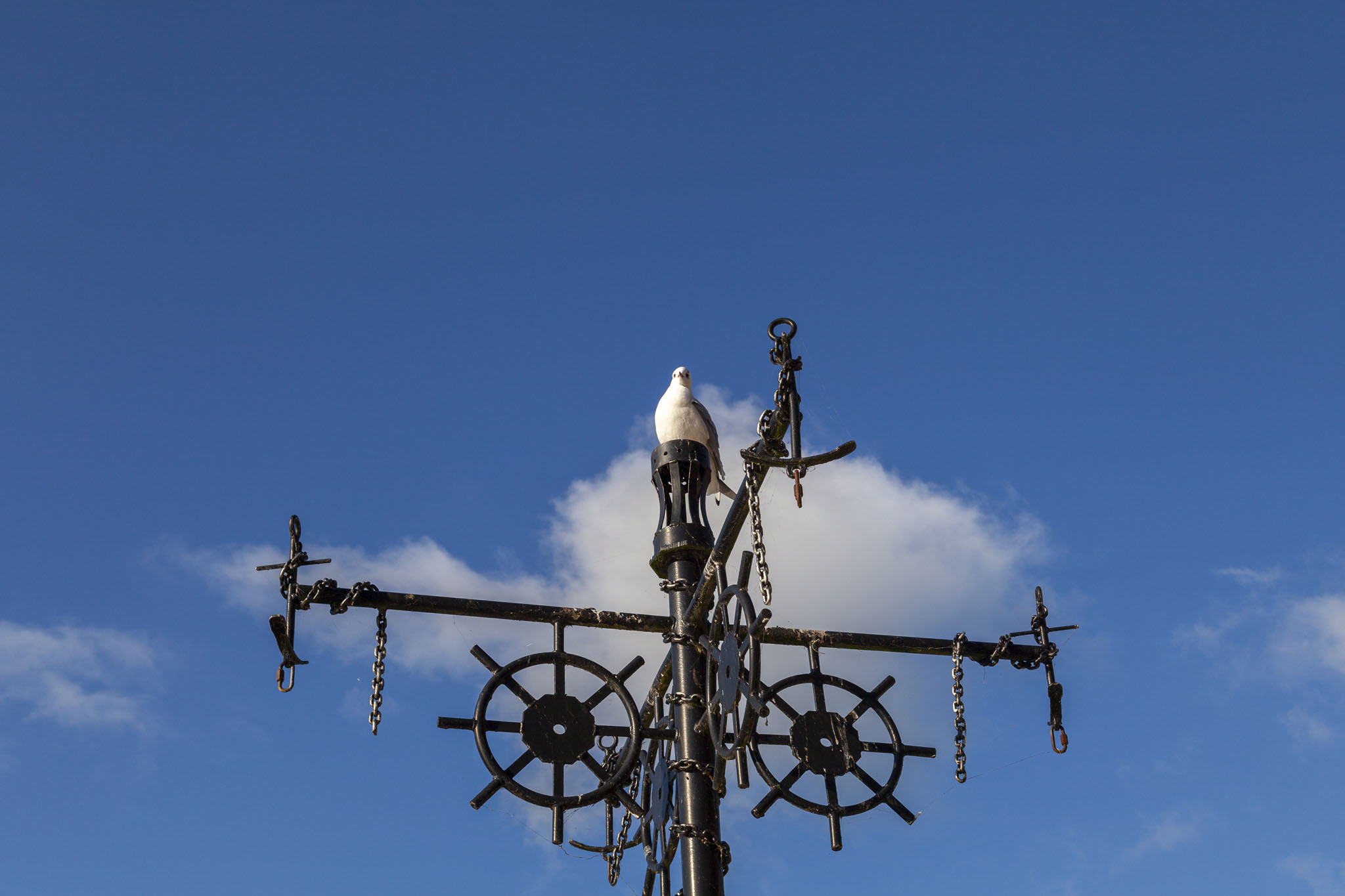
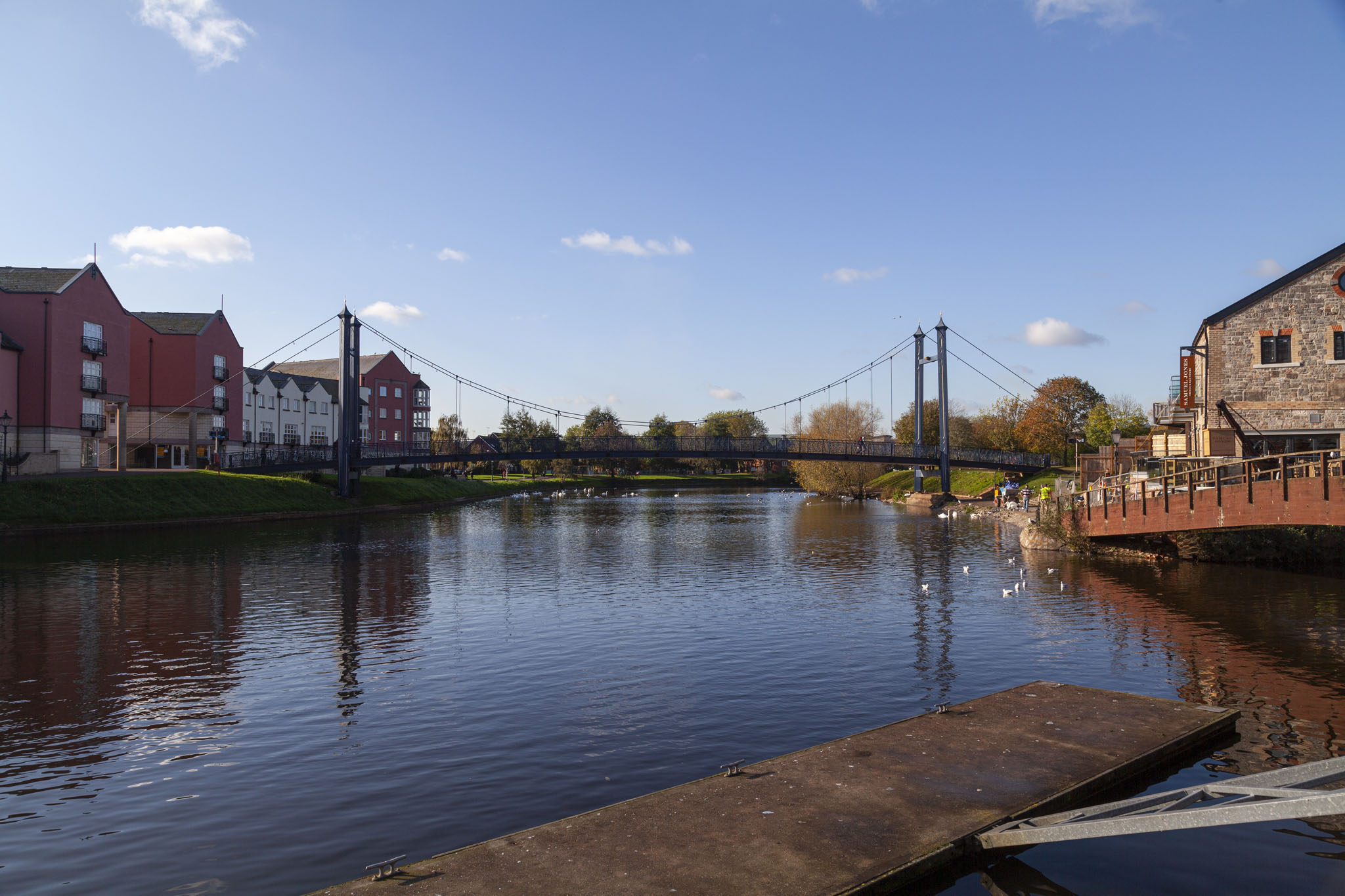
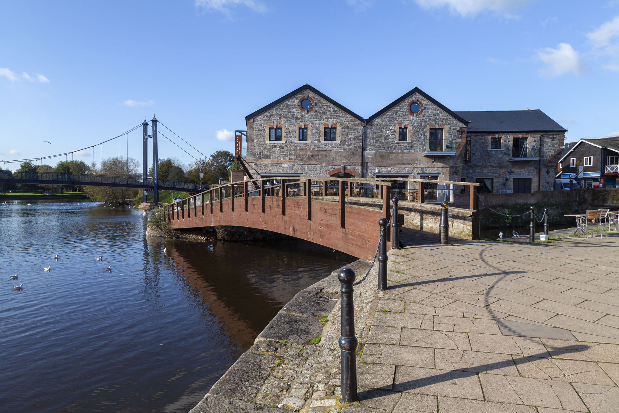
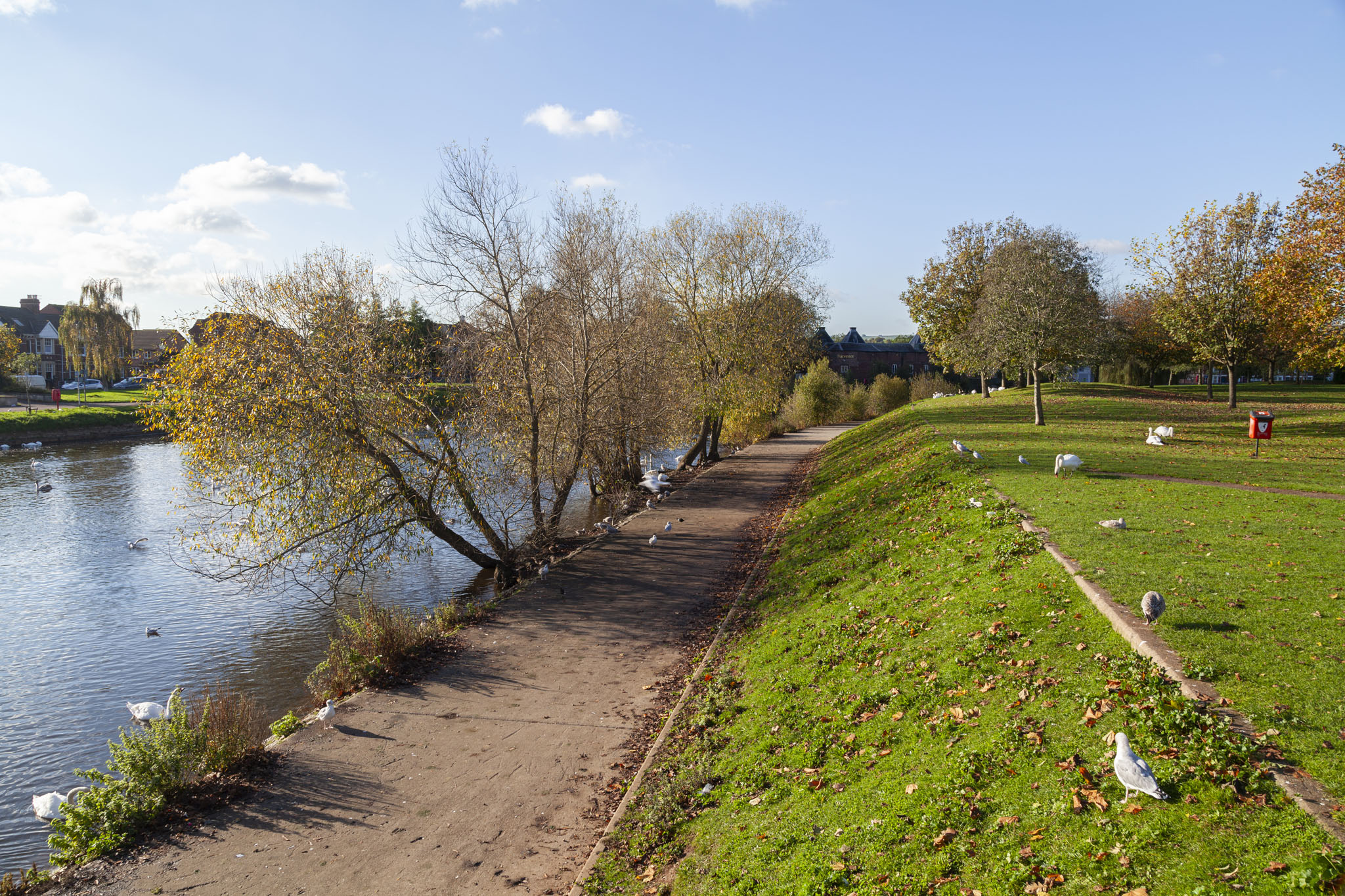
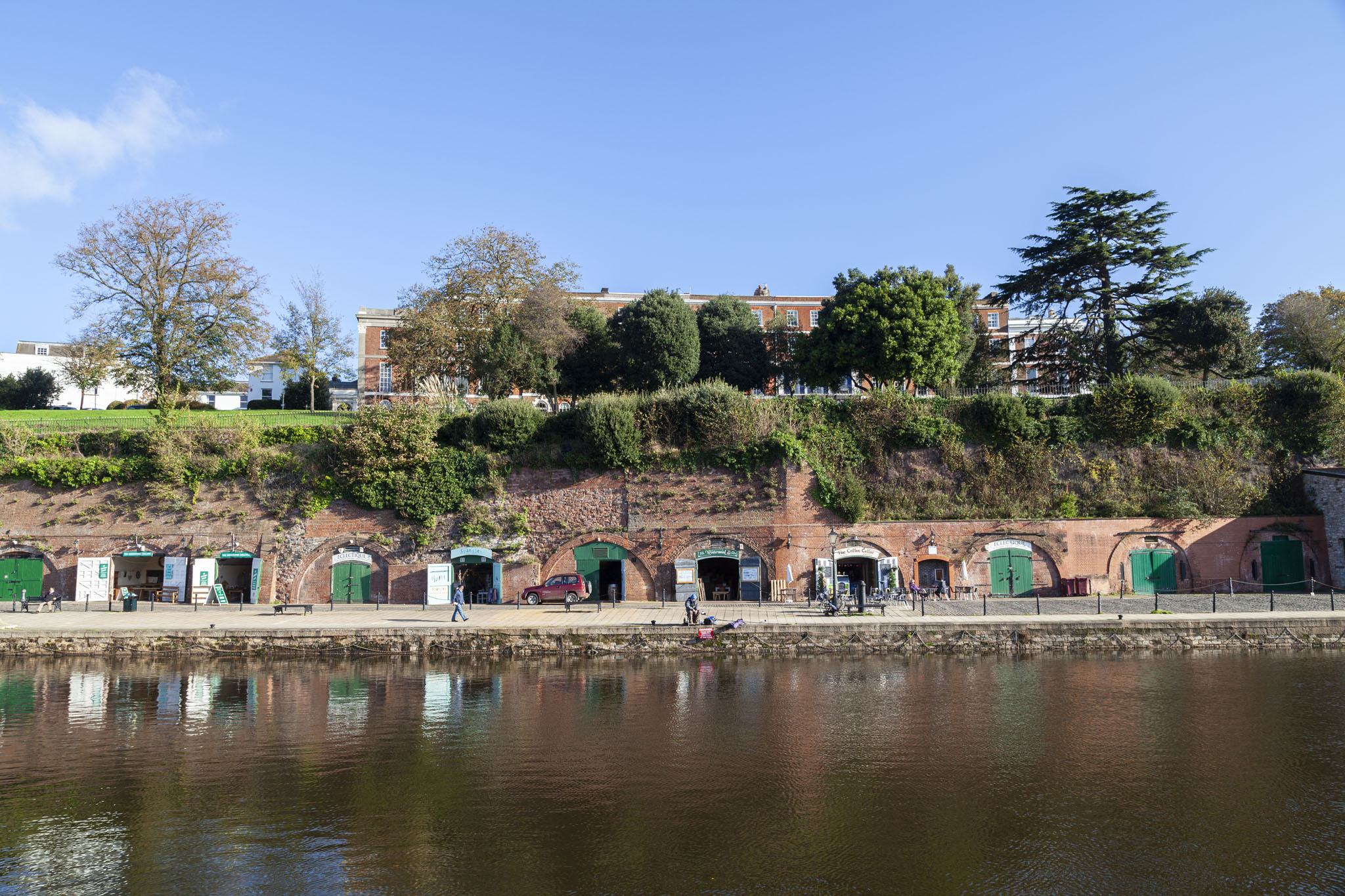
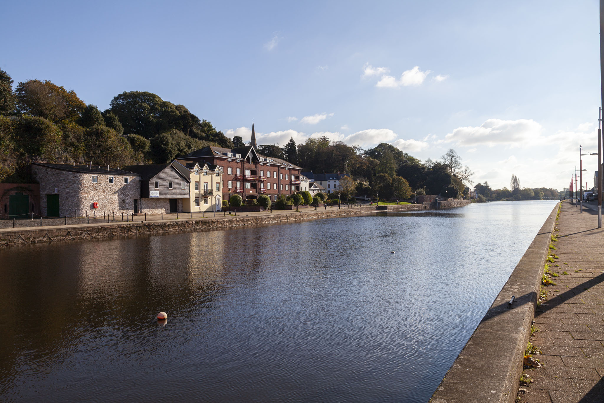
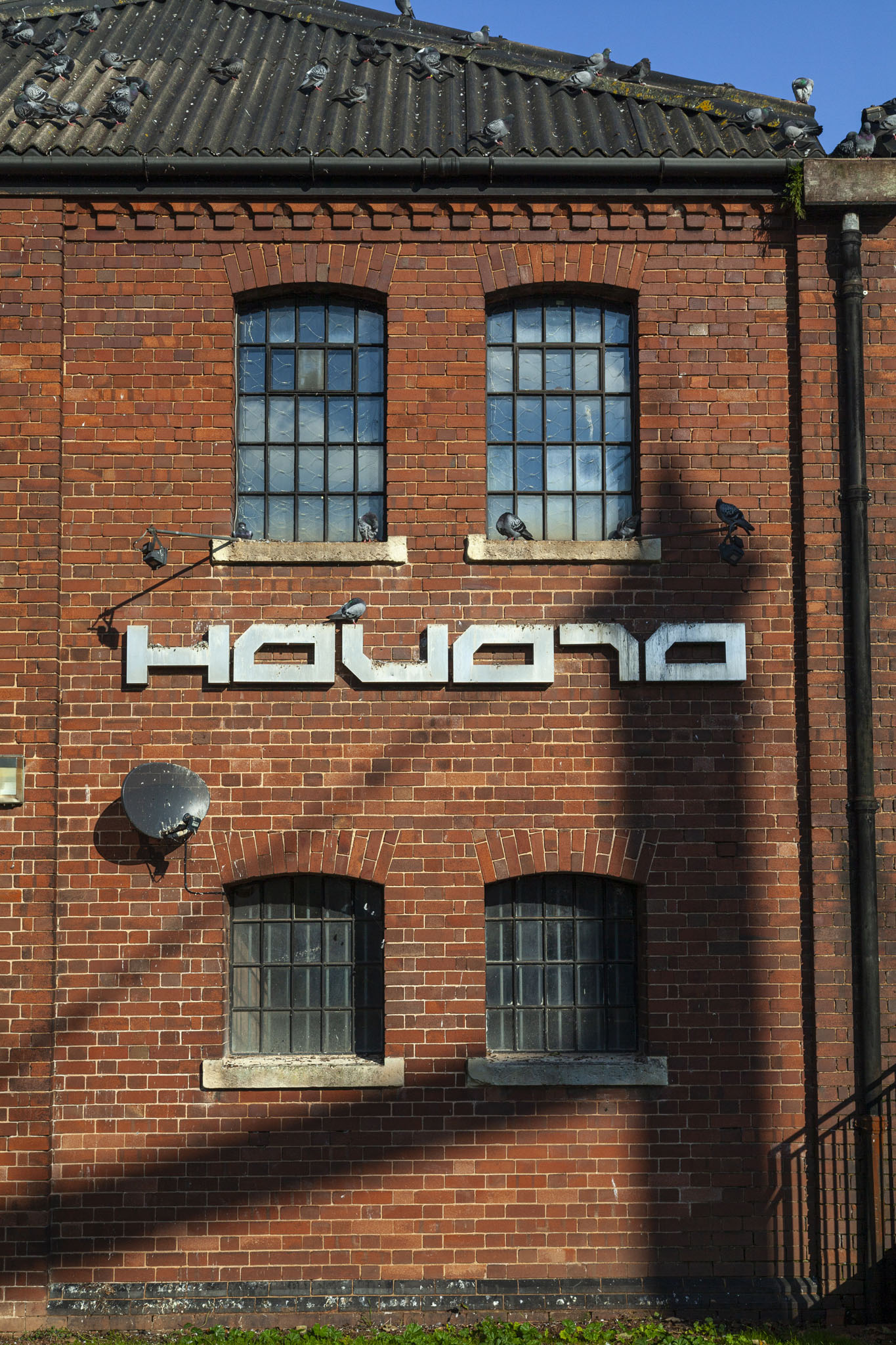
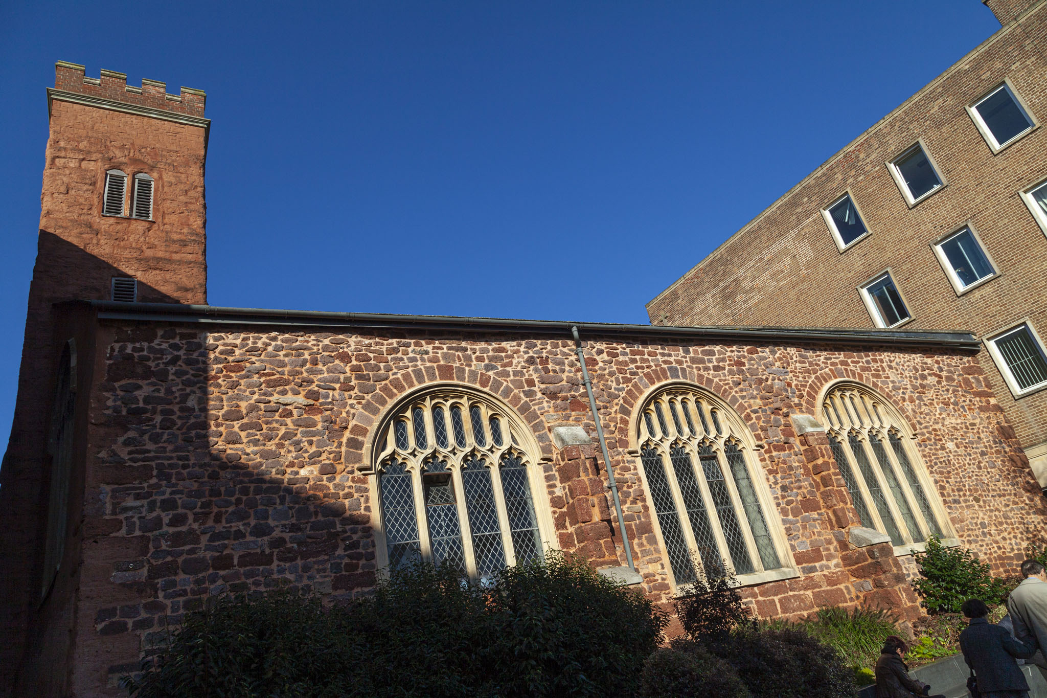
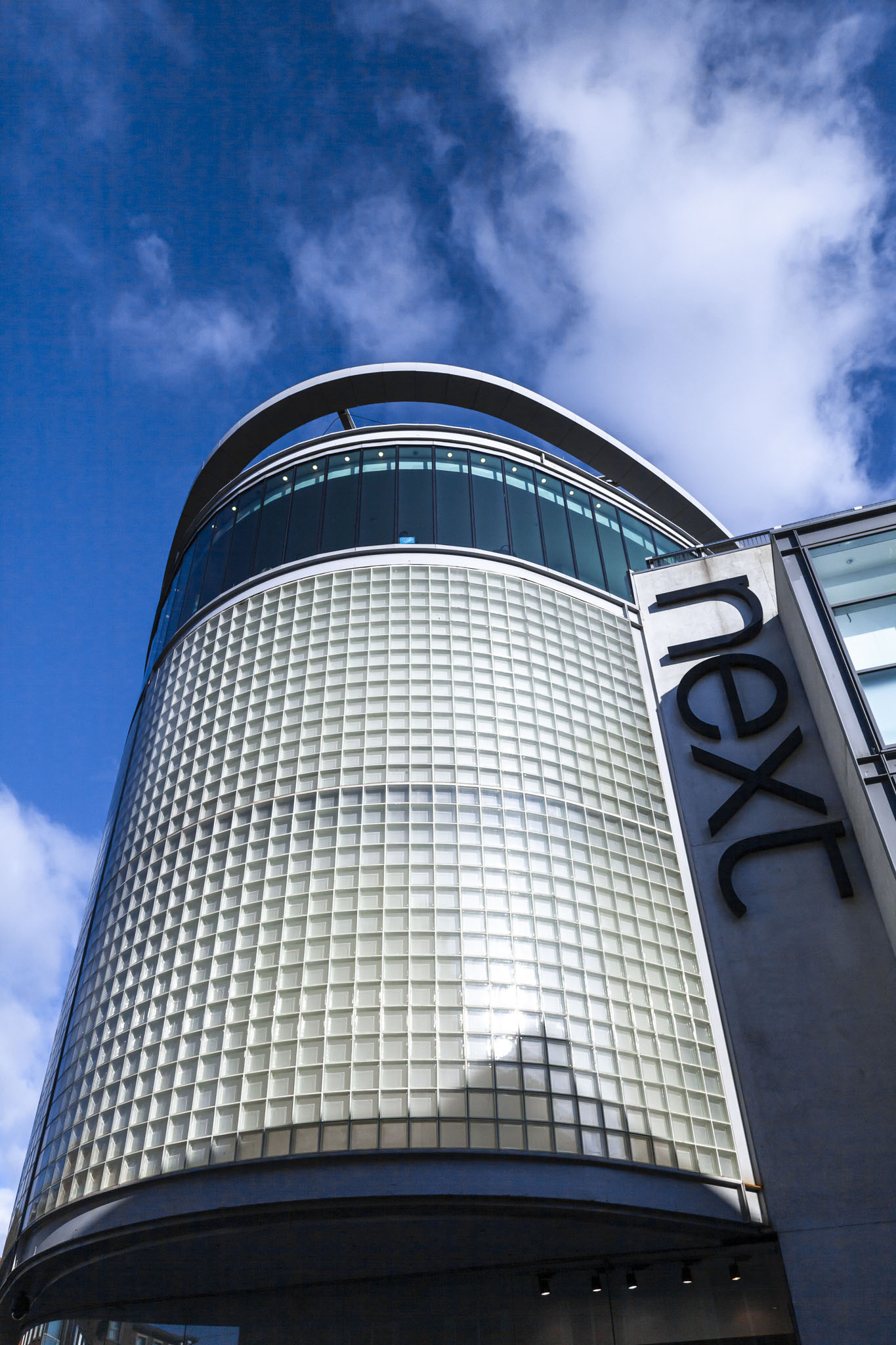
This post will serve as a record of the attractive area that makes up Exeter Quay, showing how it looked in November, 2014. These photos were taken when we spent a few days in the area, staying in nearby Exmouth and using that as a base to explore further. You can find other posts from this short stay, including imagery from Dartmoor, Lyme Regis, Torquay, and Paignton, by checking out what else we did on our 2014 South West break.
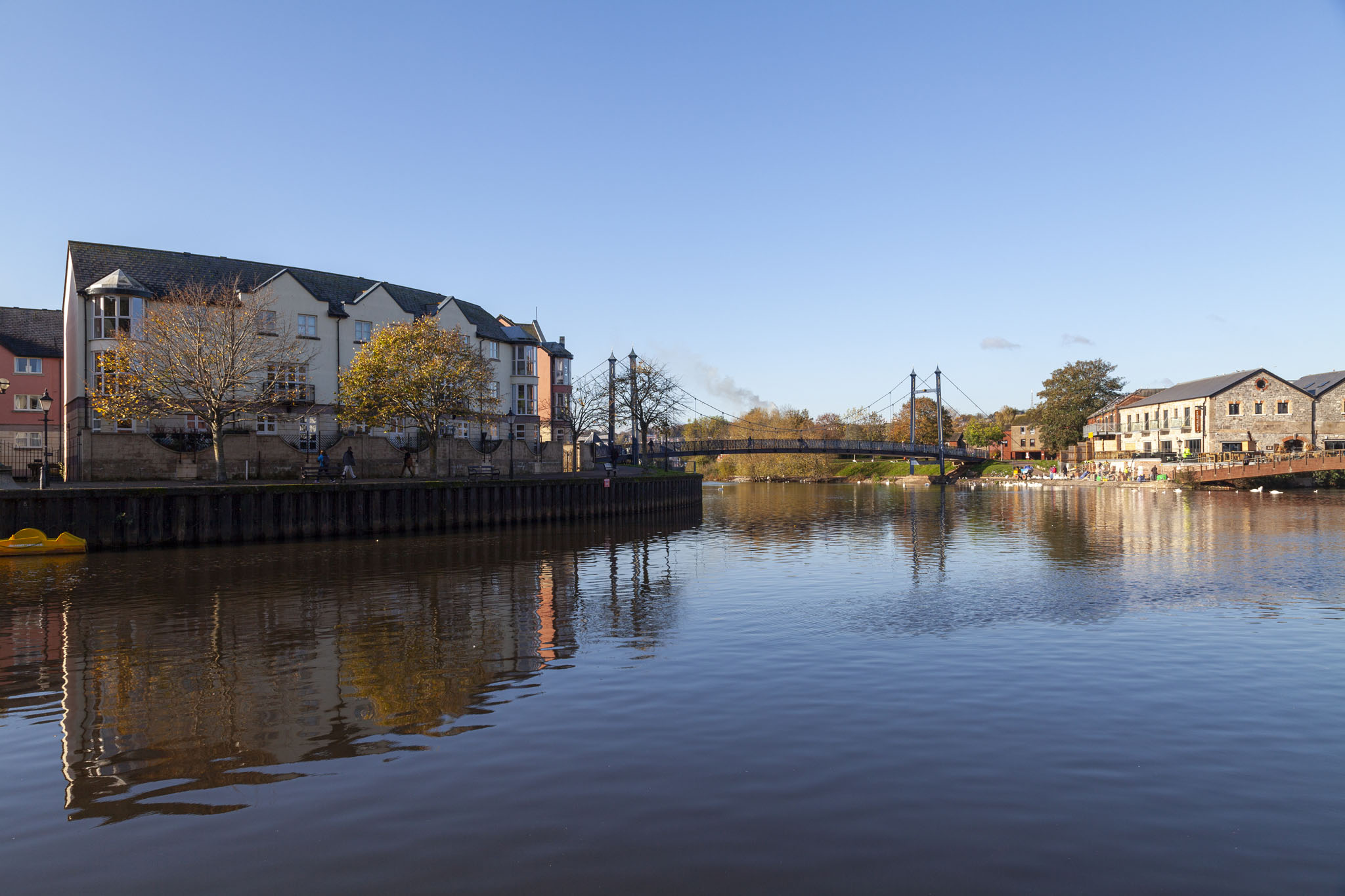
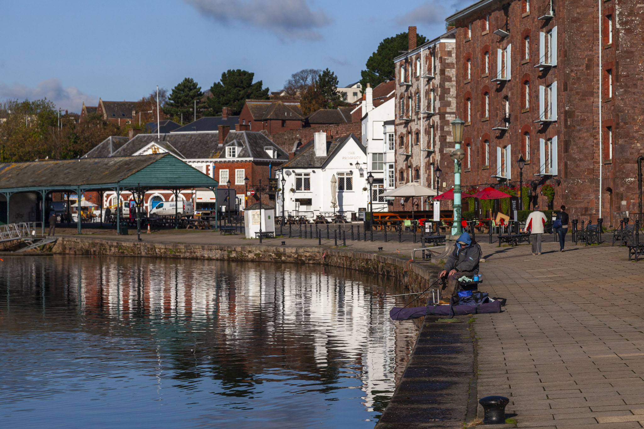
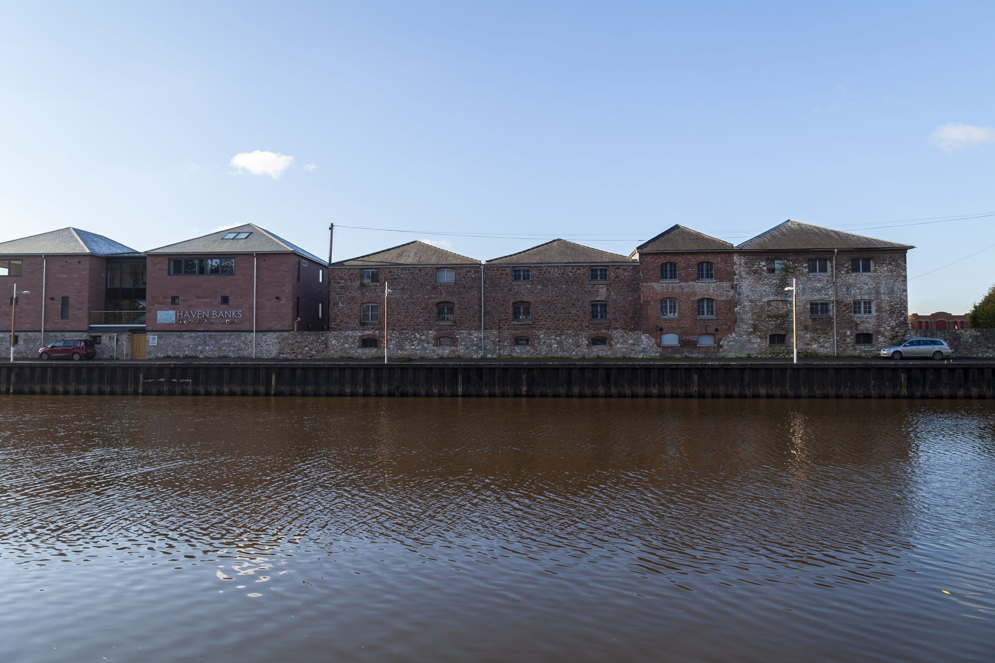
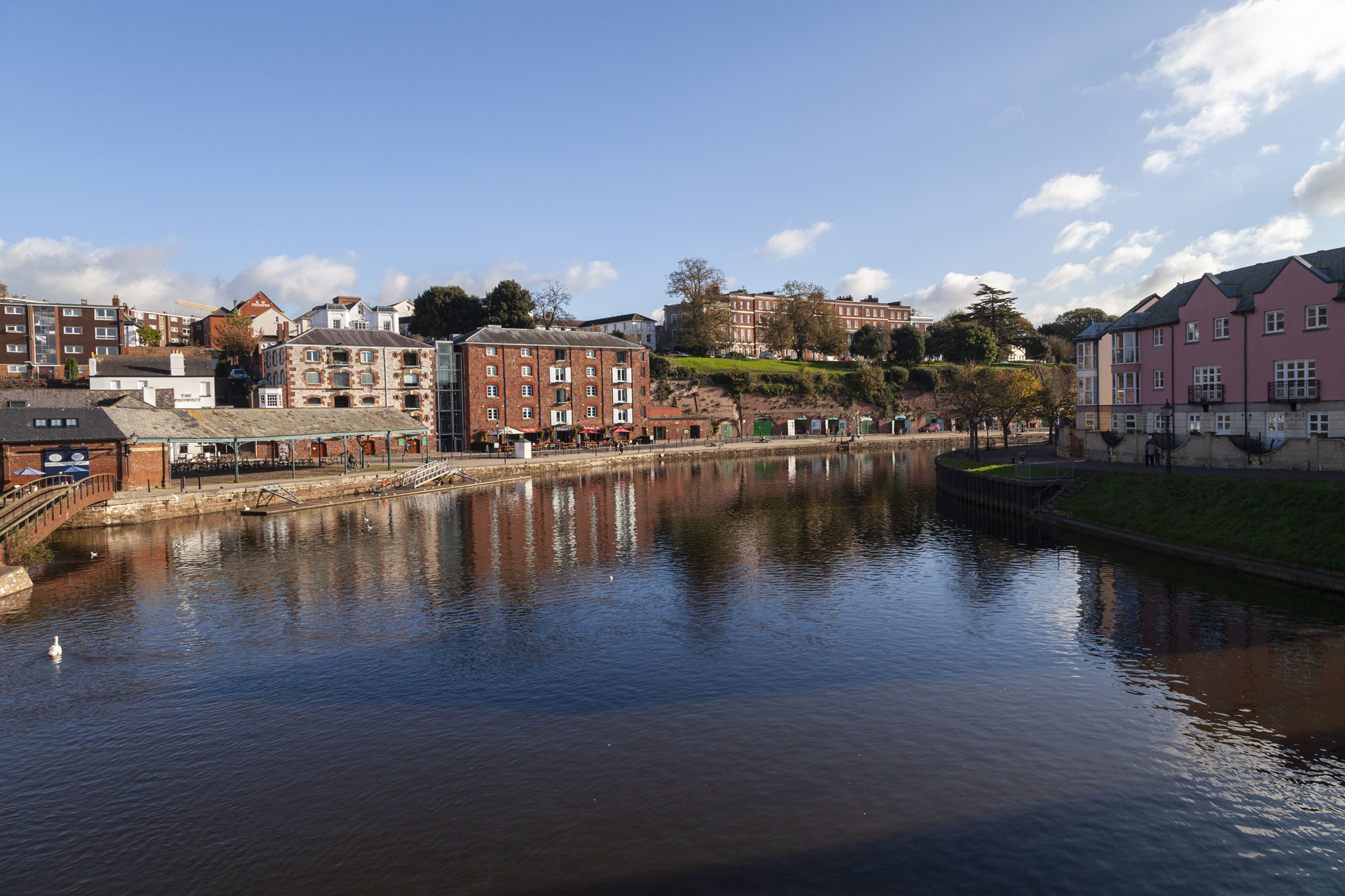
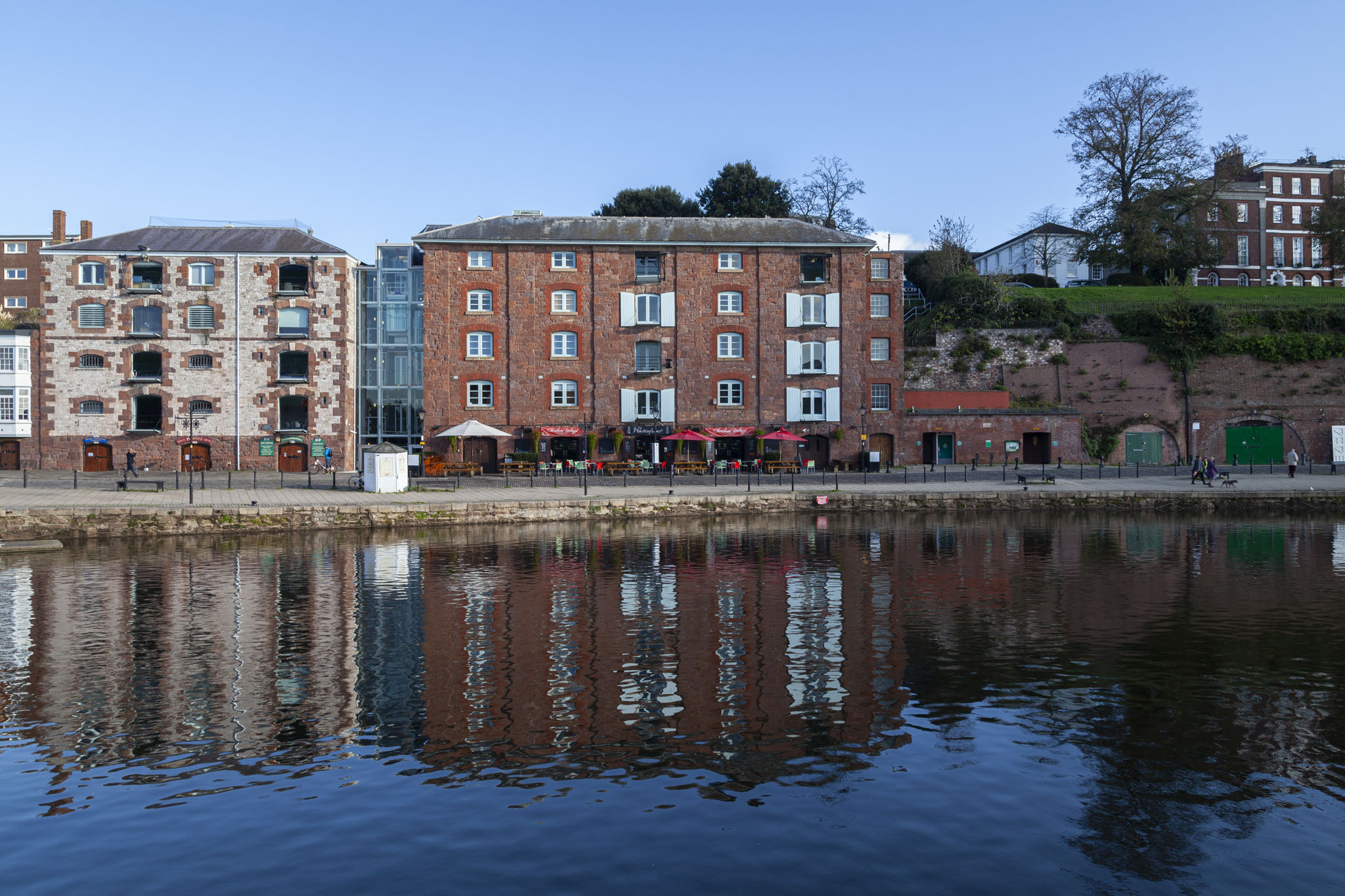
We popped into Exeter primarily to take a look at its cathedral but as we’d parked close to the quay and it was such a lovely day we had a little stroll along the water’s edge first. It’s no surprise to anyone who’s read much else on this website that we like being close to the water, and we like that only second to being on the water itself. The body of water we were looking at was the River Exe – hardly surprising given the name of the city – and Exe derives from an old word meaning “plenty of fish”.
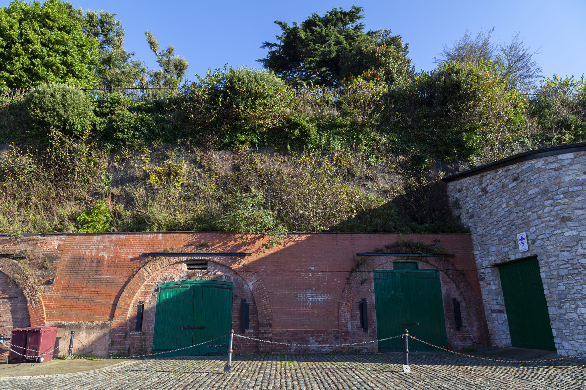
Evidence suggests that this part of Exeter was a port even in prehistoric times with parts used for landing craft of some sort, likely for trading. Prior to the late thirteenth century the River Exe that we’d been admiring to this point had been tidal and ships could sail up and down its length to offload wares near the city, but that came to a halt when first the Countess of Devon in the late thirteenth century and then a few decades later the 9th Earl of Devon built weirs across the river to power their mills.
In addition to stopping vessels from using the waterway this also ended the salmon-fishing opportunities in the river and, naturally, getting trade from the coast to the city now meant offloading and transporting over owned land that demanded costs and taxation. How very unusual for rich people in power to not be satisfied with what they’ve got and still look to take more and make life worse for everyone else. But I digress.
It wasn’t until the middle of the sixteenth century that Exeter’s traders grouped together and employed the services of a Glamorgan-based engineer to construct a canal running largely parallel to the winding river in order to bypass the now silted-up former waterway.
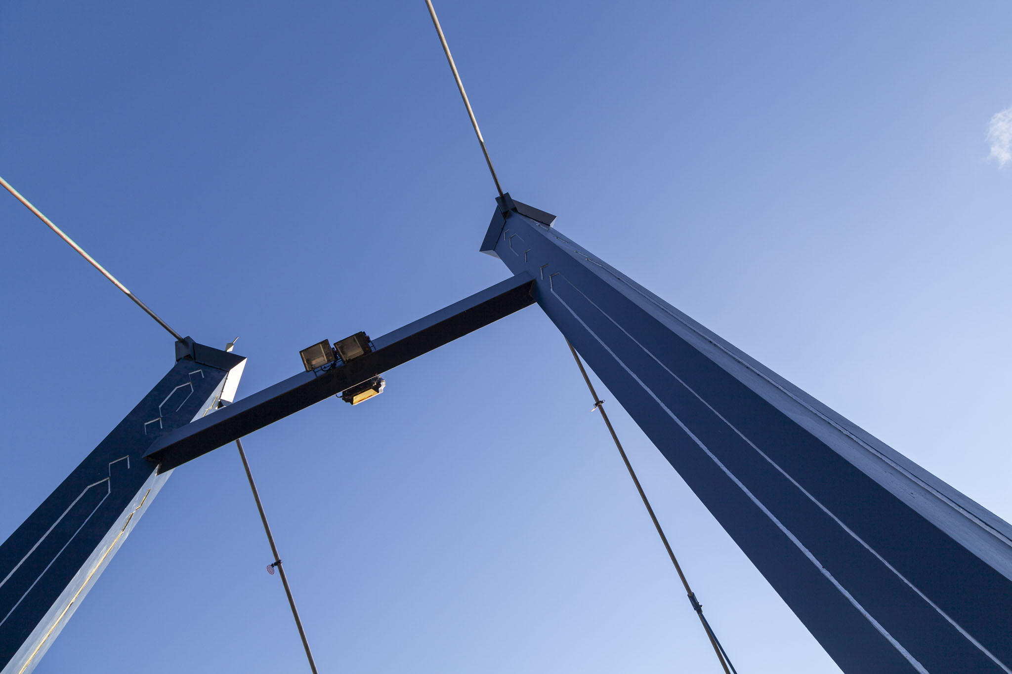
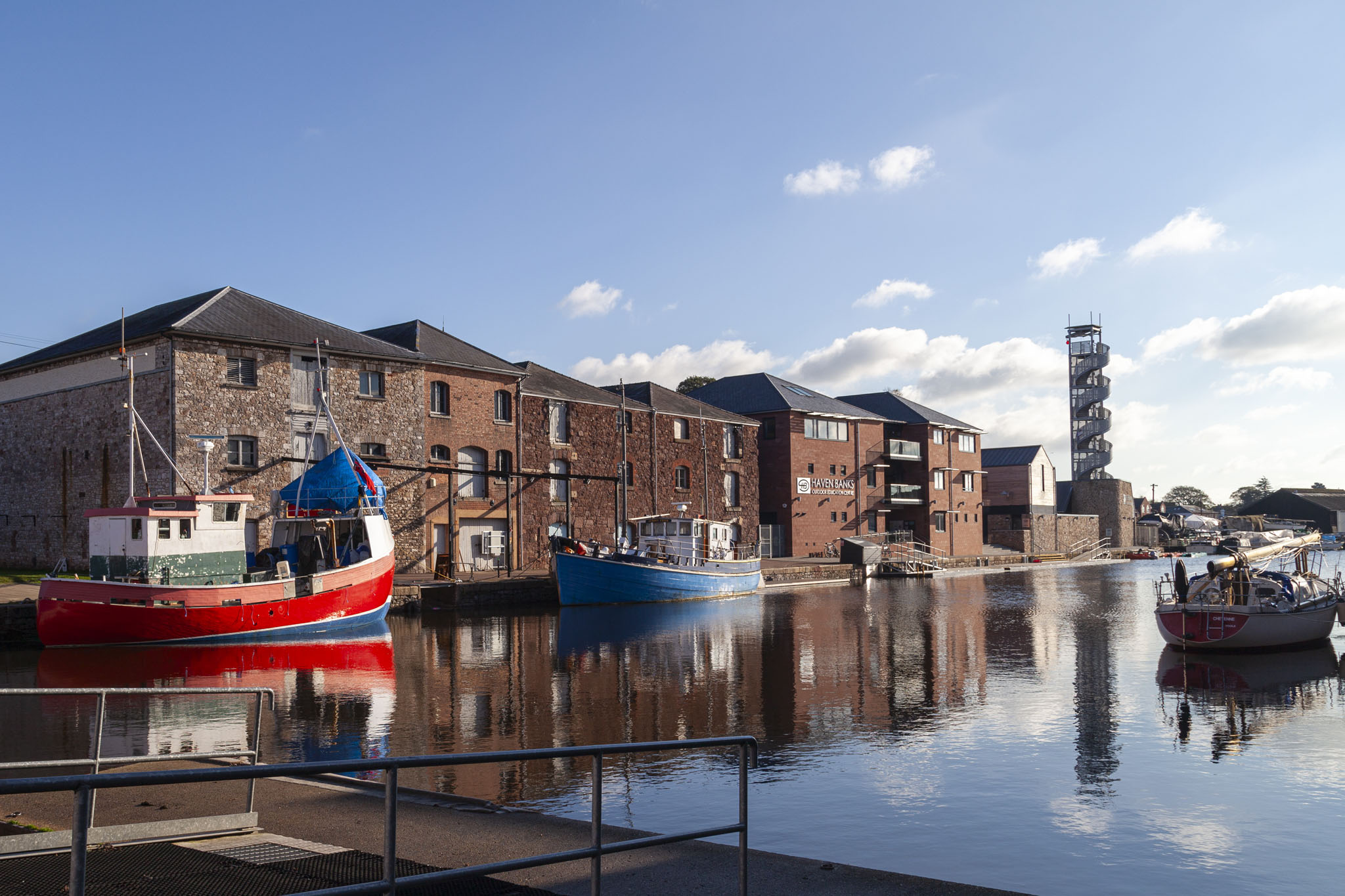
We walked over the small suspension bridge shown in earlier photos – Cricklepit Bridge; built in 1988 to provide easier access to the quayside area that Exeter was looking to open up to tourism – into Piazza Terracina, a pleasant public square at the top of the Exeter Ship Canal basin, named for Exeter’s twinned town in Italy.
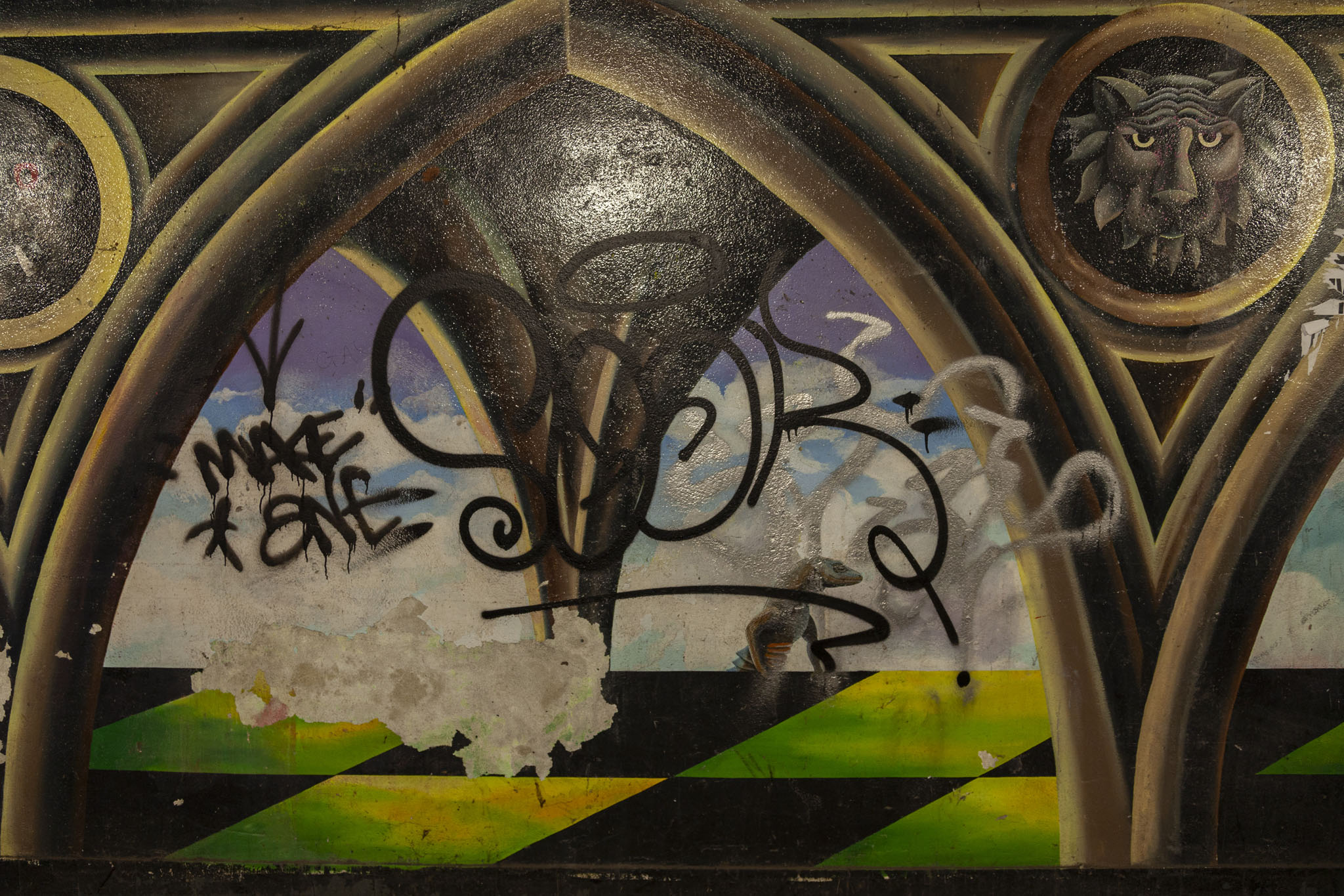
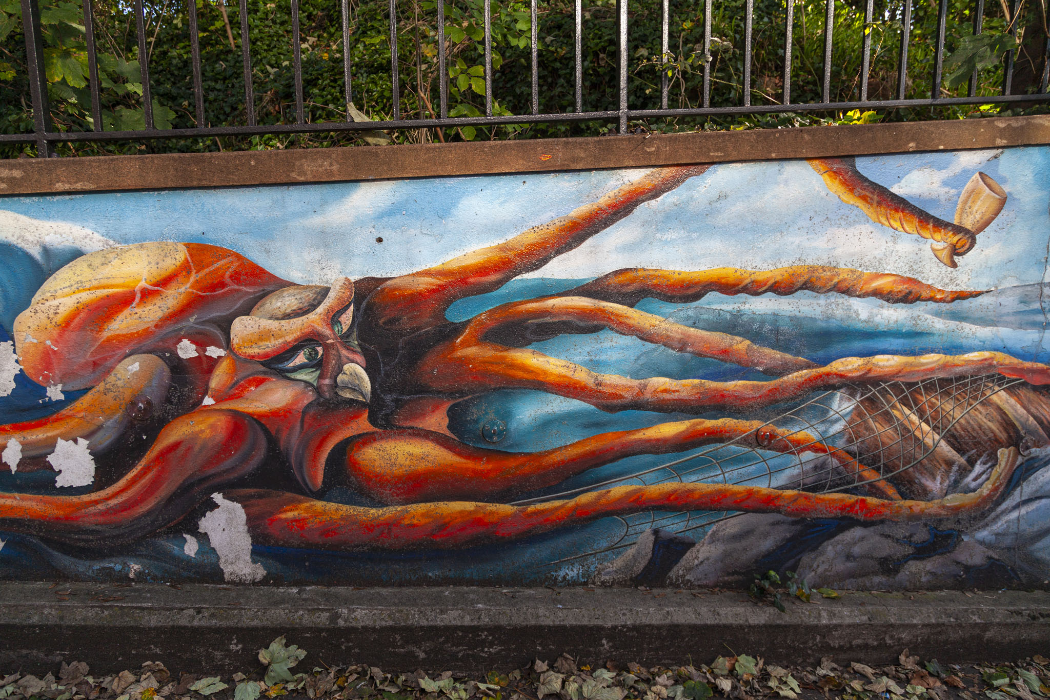
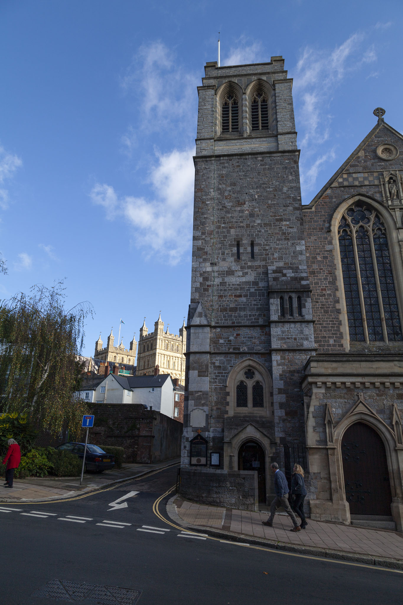
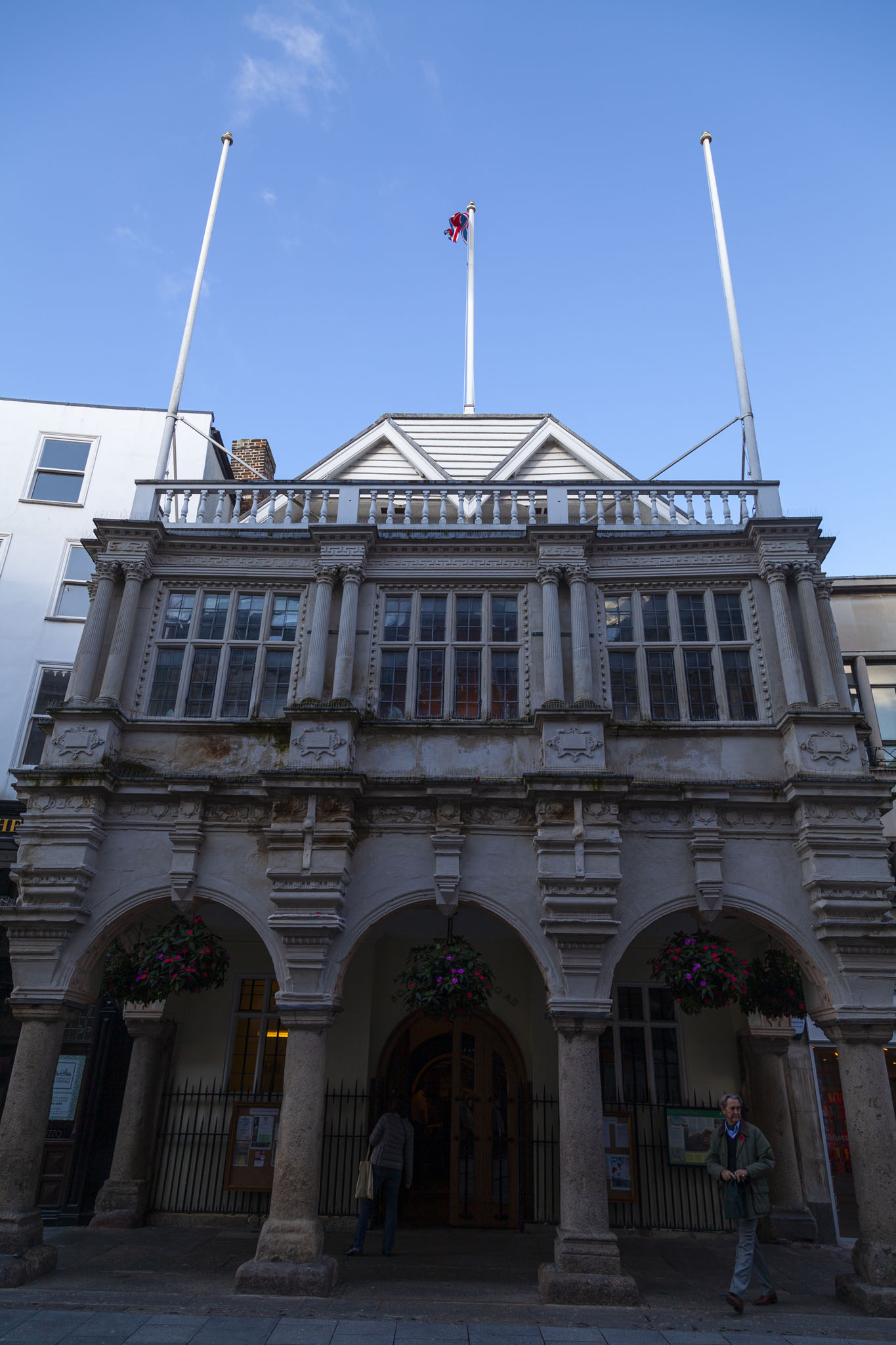
A few minutes taking photos satisfied us so we started to head towards Exeter’s city centre and the cathedral we’d come to see. We passed some street art themed in a nice fantasy style and of good quality when it was first painted, no doubt, but in a sorry state of neglect and thoughtless tagging-over when we saw it.
Photos from inside Exeter Cathedral can be found in another post in this travel series.
